Distance to Lowes Grove, North Carolina

Calculating Your Route
Just a moment while we process your request...
Location Information
-
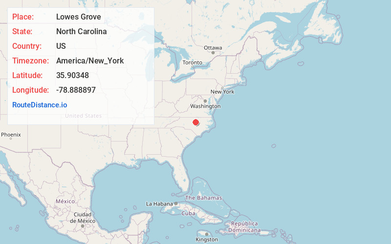
Full AddressLowes Grove, Durham, NC 27713
-
Coordinates35.90348, -78.8888966
-
LocationDurham , North Carolina , US
-
TimezoneAmerica/New_York
-
Current Local Time4:48:04 PM America/New_YorkSaturday, May 31, 2025
-
Page Views0
Nearby Places
Found 10 places within 50 miles

Brassfield
2.9 mi
4.7 km
Brassfield, Durham, NC 27703
Get directions
Blands
4.0 mi
6.4 km
Blands, NC 27713
Get directions
Bilboa
4.2 mi
6.8 km
Bilboa, NC 27703
Get directions
Cedar Fork Township
5.5 mi
8.9 km
Cedar Fork Township, NC
Get directions

Durham
6.4 mi
10.3 km
Durham, NC
Get directions

Morrisville
6.6 mi
10.6 km
Morrisville, NC
Get directions
Briarcliff
7.3 mi
11.7 km
Briarcliff, Chapel Hill, NC 27517
Get directions
Upchurch
8.1 mi
13.0 km
Upchurch, Cary, NC 27519
Get directions
Brookstone
8.1 mi
13.0 km
Brookstone, Cary, NC 27519
Get directions

Chapel Hill
9.4 mi
15.1 km
Chapel Hill, NC
Get directions
Location Links
Local Weather
Weather Information
Coming soon!
Location Map
Static map view of Lowes Grove, North Carolina
Browse Places by Distance
Places within specific distances from Lowes Grove
Short Distances
Long Distances
Click any distance to see all places within that range from Lowes Grove. Distances shown in miles (1 mile ≈ 1.61 kilometers).