Distance to Lowry, Virginia

Calculating Your Route
Just a moment while we process your request...
Location Information
-
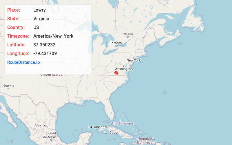
Full AddressLowry, VA 24570
-
Coordinates37.3502321, -79.4317086
-
LocationLowry , Virginia , US
-
TimezoneAmerica/New_York
-
Current Local Time11:54:37 AM America/New_YorkSunday, June 22, 2025
-
Page Views0
About Lowry
Lowry is an unincorporated community in eastern Bedford County, Virginia, United States. The community is located along State Route 715 and is 5.2 miles east-northeast of Bedford. It is part of the Lynchburg Metropolitan Statistical Area.
Nearby Places
Found 10 places within 50 miles

Goode
2.3 mi
3.7 km
Goode, VA 24556
Get directions

Cifax
4.4 mi
7.1 km
Cifax, VA 24556
Get directions

Bedford
5.1 mi
8.2 km
Bedford, VA 24523
Get directions
Otterville
6.3 mi
10.1 km
Otterville, VA 24523
Get directions
Perrowville
6.4 mi
10.3 km
Perrowville, VA 24551
Get directions
Peaksville
7.4 mi
11.9 km
Peaksville, VA 24523
Get directions
Kelso Mill
7.5 mi
12.1 km
Kelso Mill, VA 24523
Get directions

Forest
7.9 mi
12.7 km
Forest, VA
Get directions
Coltons Mill
7.9 mi
12.7 km
Coltons Mill, VA 24523
Get directions
Charlemont
8.2 mi
13.2 km
Charlemont, VA 24526
Get directions
Location Links
Local Weather
Weather Information
Coming soon!
Location Map
Static map view of Lowry, Virginia
Browse Places by Distance
Places within specific distances from Lowry
Short Distances
Long Distances
Click any distance to see all places within that range from Lowry. Distances shown in miles (1 mile ≈ 1.61 kilometers).