Distance to Lozano, Texas

Calculating Your Route
Just a moment while we process your request...
Location Information
-
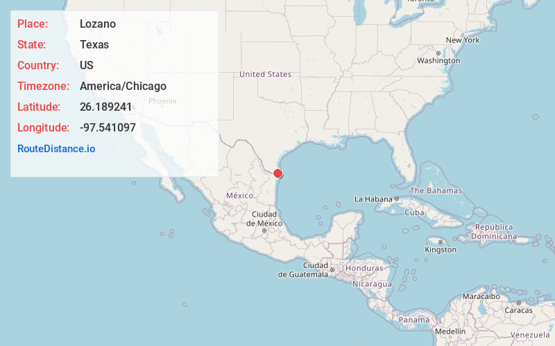
Full AddressLozano, TX
-
Coordinates26.1892413, -97.5410972
-
LocationLozano , Texas , US
-
TimezoneAmerica/Chicago
-
Current Local Time5:42:59 AM America/ChicagoWednesday, May 21, 2025
-
Page Views0
About Lozano
Lozano is a census-designated place in Cameron County, Texas, United States. The population was 404 at the 2010 census, up from 324 at the 2000 census. By the 2020 census, the population went drastically down to 174. It is part of the Brownsville–Harlingen Metropolitan Statistical Area.
Nearby Places
Found 10 places within 50 miles

Villa Del Sol
2.1 mi
3.4 km
Villa Del Sol, TX 78586
Get directions

Rio Hondo
4.1 mi
6.6 km
Rio Hondo, TX
Get directions
Arroyo Colorado Estates
4.5 mi
7.2 km
Arroyo Colorado Estates, TX
Get directions

Green Valley Farms
4.8 mi
7.7 km
Green Valley Farms, TX 78586
Get directions

Arroyo Gardens-La Tina Ranch
5.2 mi
8.4 km
Arroyo Gardens-La Tina Ranch, TX 78583
Get directions
Laureles
6.2 mi
10.0 km
Laureles, TX
Get directions

San Benito
6.8 mi
10.9 km
San Benito, TX 78586
Get directions

Indian Lake
7.3 mi
11.7 km
Indian Lake, TX 78566
Get directions

Los Fresnos
9.1 mi
14.6 km
Los Fresnos, TX
Get directions

Harlingen
9.6 mi
15.4 km
Harlingen, TX
Get directions
Location Links
Local Weather
Weather Information
Coming soon!
Location Map
Static map view of Lozano, Texas
Browse Places by Distance
Places within specific distances from Lozano
Short Distances
Long Distances
Click any distance to see all places within that range from Lozano. Distances shown in miles (1 mile ≈ 1.61 kilometers).