Distance to Lucasville, Ohio

Calculating Your Route
Just a moment while we process your request...
Location Information
-
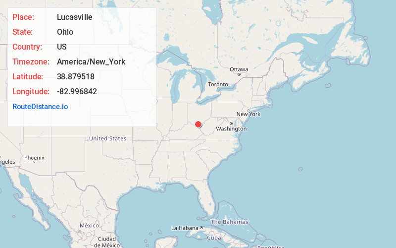
Full AddressLucasville, OH 45648
-
Coordinates38.879518, -82.9968419
-
LocationLucasville , Ohio , US
-
TimezoneAmerica/New_York
-
Current Local Time10:03:34 AM America/New_YorkWednesday, June 11, 2025
-
Page Views0
About Lucasville
Lucasville is a census-designated place in Scioto County, Ohio, United States. The population was 1,655 at the 2020 census. It is part of the Portsmouth micropolitan area.
Lucasville is the location of the Scioto County Fairgrounds.


Nearby Places
Found 10 places within 50 miles

Rosemount
6.5 mi
10.5 km
Rosemount, OH 45662
Get directions

West Portsmouth
8.5 mi
13.7 km
West Portsmouth, OH 45663
Get directions

New Boston
9.4 mi
15.1 km
New Boston, OH
Get directions

Portsmouth
10.2 mi
16.4 km
Portsmouth, OH 45662
Get directions

Wheelersburg
12.8 mi
20.6 km
Wheelersburg, OH
Get directions

Piketon
13.1 mi
21.1 km
Piketon, OH 45661
Get directions

Waverly
17.1 mi
27.5 km
Waverly, OH 45690
Get directions
Franklin Furnace
19.8 mi
31.9 km
Franklin Furnace, OH
Get directions

Peebles
22.5 mi
36.2 km
Peebles, OH 45660
Get directions

Jackson
22.7 mi
36.5 km
Jackson, OH 45640
Get directions
Location Links
Local Weather
Weather Information
Coming soon!
Location Map
Static map view of Lucasville, Ohio
Browse Places by Distance
Places within specific distances from Lucasville
Short Distances
Long Distances
Click any distance to see all places within that range from Lucasville. Distances shown in miles (1 mile ≈ 1.61 kilometers).