Distance to Peebles, Ohio

Calculating Your Route
Just a moment while we process your request...
Location Information
-
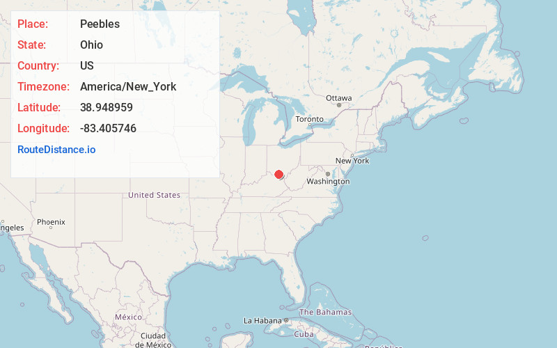
Full AddressPeebles, OH 45660
-
Coordinates38.9489593, -83.4057458
-
LocationPeebles , Ohio , US
-
TimezoneAmerica/New_York
-
Current Local Time11:48:37 PM America/New_YorkThursday, June 19, 2025
-
Website
-
Page Views0
About Peebles
Peebles is a village in Adams County, Ohio, United States. It is 64 miles east of Cincinnati. The population was 1,774 at the 2020 census.


Nearby Places
Found 10 places within 50 miles

West Union
13.0 mi
20.9 km
West Union, OH 45693
Get directions

Bainbridge
20.6 mi
33.2 km
Bainbridge, OH 45612
Get directions

Hillsboro
20.7 mi
33.3 km
Hillsboro, OH 45133
Get directions

Manchester
20.9 mi
33.6 km
Manchester, OH 45144
Get directions

Piketon
22.6 mi
36.4 km
Piketon, OH 45661
Get directions

West Portsmouth
24.2 mi
38.9 km
West Portsmouth, OH 45663
Get directions

Rosemount
25.6 mi
41.2 km
Rosemount, OH 45662
Get directions

Waverly
25.7 mi
41.4 km
Waverly, OH 45690
Get directions

Portsmouth
26.6 mi
42.8 km
Portsmouth, OH 45662
Get directions

Georgetown
27.4 mi
44.1 km
Georgetown, OH 45121
Get directions
Location Links
Local Weather
Weather Information
Coming soon!
Location Map
Static map view of Peebles, Ohio
Browse Places by Distance
Places within specific distances from Peebles
Short Distances
Long Distances
Click any distance to see all places within that range from Peebles. Distances shown in miles (1 mile ≈ 1.61 kilometers).