Distance to Georgetown, Ohio

Calculating Your Route
Just a moment while we process your request...
Location Information
-
Full AddressGeorgetown, OH 45121
-
Coordinates38.8645138, -83.9040944
-
LocationGeorgetown , Ohio , US
-
TimezoneAmerica/New_York
-
Current Local Time7:55:22 PM America/New_YorkTuesday, June 3, 2025
-
Website
-
Page Views0
About Georgetown
Georgetown is a village in and the county seat of Brown County, Ohio, United States, located about 36 miles southeast of Cincinnati. The population was 4,453 at the 2020 census. Georgetown was the childhood home of U.S. President Ulysses S. Grant.


Nearby Places
Found 10 places within 50 miles

Mt Orab
11.3 mi
18.2 km
Mt Orab, OH
Get directions

Maysville
17.7 mi
28.5 km
Maysville, KY 41056
Get directions

Amelia
20.3 mi
32.7 km
Amelia, OH
Get directions

Withamsville
23.6 mi
38.0 km
Withamsville, OH
Get directions
Summerside
26.8 mi
43.1 km
Summerside, OH
Get directions

Alexandria
26.8 mi
43.1 km
Alexandria, KY 41001
Get directions
Mt Carmel
27.2 mi
43.8 km
Mt Carmel, OH
Get directions

Hillsboro
28.1 mi
45.2 km
Hillsboro, OH 45133
Get directions
Dry Run
28.3 mi
45.5 km
Dry Run, OH 45244
Get directions

Blanchester
30.0 mi
48.3 km
Blanchester, OH 45107
Get directions
Location Links
Local Weather
Weather Information
Coming soon!
Location Map
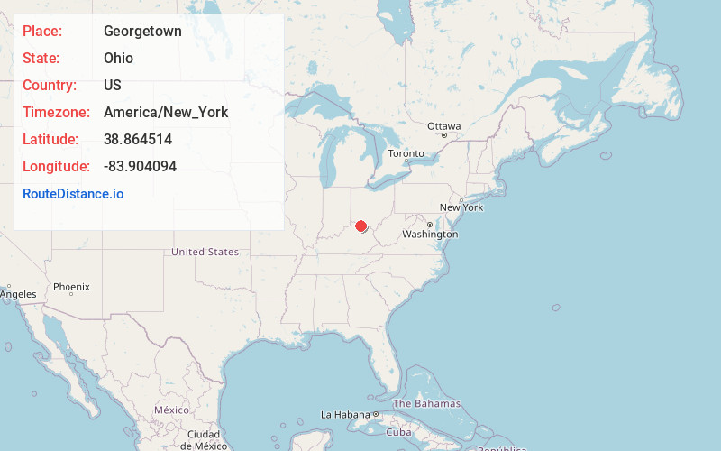
Static map view of Georgetown, Ohio
Browse Places by Distance
Places within specific distances from Georgetown
Short Distances
Long Distances
Click any distance to see all places within that range from Georgetown. Distances shown in miles (1 mile ≈ 1.61 kilometers).