Distance to Mt Carmel, Ohio

Calculating Your Route
Just a moment while we process your request...
Location Information
-
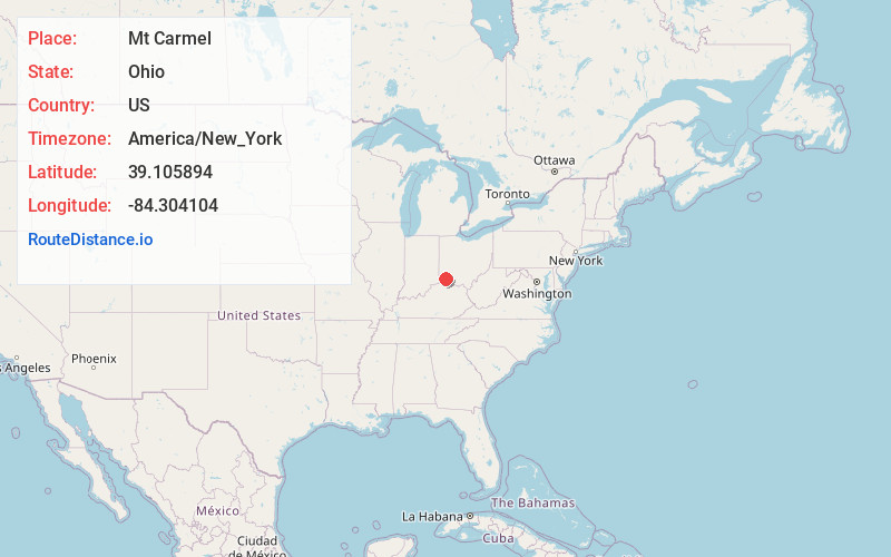
Full AddressMt Carmel, OH
-
Coordinates39.1058943, -84.3041044
-
LocationMt Carmel , Ohio , US
-
TimezoneAmerica/New_York
-
Current Local Time4:54:07 PM America/New_YorkSaturday, May 31, 2025
-
Page Views0
About Mt Carmel
Mount Carmel is a census-designated place in Union Township, Clermont County, Ohio, United States. The population was 4,828 at the 2020 census.
Nearby Places
Found 10 places within 50 miles

Dry Run
1.4 mi
2.3 km
Dry Run, OH 45244
Get directions
Withamsville
3.8 mi
6.1 km
Withamsville, OH
Get directions

Milford
4.8 mi
7.7 km
Milford, OH
Get directions

Indian Hill
5.6 mi
9.0 km
Indian Hill, OH
Get directions

Amelia
7.1 mi
11.4 km
Amelia, OH
Get directions

Silverton
8.0 mi
12.9 km
Silverton, OH
Get directions

Fort Thomas
8.0 mi
12.9 km
Fort Thomas, KY
Get directions
Kenwood
8.0 mi
12.9 km
Kenwood, OH
Get directions

Deer Park
8.4 mi
13.5 km
Deer Park, OH 45236
Get directions

Montgomery
8.9 mi
14.3 km
Montgomery, OH
Get directions
Location Links
Local Weather
Weather Information
Coming soon!
Location Map
Static map view of Mt Carmel, Ohio
Browse Places by Distance
Places within specific distances from Mt Carmel
Short Distances
Long Distances
Click any distance to see all places within that range from Mt Carmel. Distances shown in miles (1 mile ≈ 1.61 kilometers).