Distance to Mt Orab, Ohio

Calculating Your Route
Just a moment while we process your request...
Location Information
-
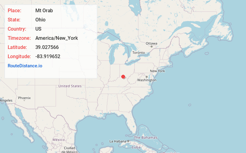
Full AddressMt Orab, OH
-
Coordinates39.0275659, -83.919652
-
LocationMt Orab , Ohio , US
-
TimezoneAmerica/New_York
-
Current Local Time12:18:13 AM America/New_YorkThursday, June 19, 2025
-
Website
-
Page Views0
About Mt Orab
Mount Orab is a village in Brown County, Ohio, United States. The population is 4,347 as of the 2020 United States census.


Nearby Places
Found 10 places within 50 miles

Amelia
16.0 mi
25.7 km
Amelia, OH
Get directions

Withamsville
18.7 mi
30.1 km
Withamsville, OH
Get directions

Hillsboro
20.5 mi
33.0 km
Hillsboro, OH 45133
Get directions
Mt Carmel
21.3 mi
34.3 km
Mt Carmel, OH
Get directions

Milford
22.5 mi
36.2 km
Milford, OH
Get directions
Dry Run
22.7 mi
36.5 km
Dry Run, OH 45244
Get directions

Loveland
24.9 mi
40.1 km
Loveland, OH 45140
Get directions

Indian Hill
25.1 mi
40.4 km
Indian Hill, OH
Get directions

Alexandria
25.6 mi
41.2 km
Alexandria, KY 41001
Get directions

Montgomery
27.1 mi
43.6 km
Montgomery, OH
Get directions
Location Links
Local Weather
Weather Information
Coming soon!
Location Map
Static map view of Mt Orab, Ohio
Browse Places by Distance
Places within specific distances from Mt Orab
Short Distances
Long Distances
Click any distance to see all places within that range from Mt Orab. Distances shown in miles (1 mile ≈ 1.61 kilometers).