Distance to West Union, Ohio

Calculating Your Route
Just a moment while we process your request...
Location Information
-
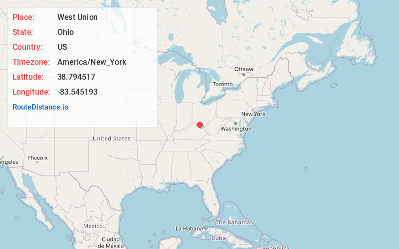
Full AddressWest Union, OH 45693
-
Coordinates38.7945166, -83.5451934
-
LocationWest Union , Ohio , US
-
TimezoneAmerica/New_York
-
Current Local Time1:15:10 PM America/New_YorkThursday, June 12, 2025
-
Website
-
Page Views0
About West Union
West Union is a village in Adams County, Ohio, United States, about 55 miles southeast of Cincinnati. The population was 3,004 at the 2020 census. It is the county seat of Adams County.


Nearby Places
Found 10 places within 50 miles

Maysville
15.1 mi
24.3 km
Maysville, KY 41056
Get directions

Georgetown
19.9 mi
32.0 km
Georgetown, OH 45121
Get directions

Mt Orab
25.8 mi
41.5 km
Mt Orab, OH
Get directions

Flemingsburg
27.7 mi
44.6 km
Flemingsburg, KY 41041
Get directions

Hillsboro
28.4 mi
45.7 km
Hillsboro, OH 45133
Get directions

Portsmouth
29.8 mi
48.0 km
Portsmouth, OH 45662
Get directions

Bainbridge
33.4 mi
53.8 km
Bainbridge, OH 45612
Get directions

Wheelersburg
37.4 mi
60.2 km
Wheelersburg, OH
Get directions

Waverly
37.8 mi
60.8 km
Waverly, OH 45690
Get directions

Greenfield
39.5 mi
63.6 km
Greenfield, OH 45123
Get directions
Location Links
Local Weather
Weather Information
Coming soon!
Location Map
Static map view of West Union, Ohio
Browse Places by Distance
Places within specific distances from West Union
Short Distances
Long Distances
Click any distance to see all places within that range from West Union. Distances shown in miles (1 mile ≈ 1.61 kilometers).