Distance to Ludlow, South Dakota

Calculating Your Route
Just a moment while we process your request...
Location Information
-
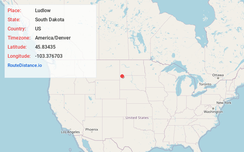
Full AddressLudlow, SD 57755
-
Coordinates45.8343501, -103.3767031
-
LocationLudlow , South Dakota , US
-
TimezoneAmerica/Denver
-
Current Local Time10:12:01 AM America/DenverFriday, June 20, 2025
-
Page Views0
About Ludlow
Ludlow is an unincorporated rural hamlet in Harding County, South Dakota, United States. It is located on Federal Highway 85, approximately 21 miles north of Buffalo, the Harding County seat, and six miles south of the North Dakota border.
Nearby Places
Found 10 places within 50 miles

Karinen
15.1 mi
24.3 km
Karinen, SD 58623
Get directions
Haley
15.2 mi
24.5 km
Haley, ND 58653
Get directions
Ralph
15.5 mi
24.9 km
Ralph, SD 57649
Get directions
Ladner
16.9 mi
27.2 km
Ladner, SD 57720
Get directions

Buffalo
19.1 mi
30.7 km
Buffalo, SD 57720
Get directions

Harding County
22.5 mi
36.2 km
Harding County, SD
Get directions

Bowman
24.1 mi
38.8 km
Bowman, ND 58623
Get directions

Gascoyne
24.3 mi
39.1 km
Gascoyne, ND 58653
Get directions

Scranton
24.4 mi
39.3 km
Scranton, ND 58653
Get directions
Reva
24.5 mi
39.4 km
Reva, SD 57651
Get directions
Location Links
Local Weather
Weather Information
Coming soon!
Location Map
Static map view of Ludlow, South Dakota
Browse Places by Distance
Places within specific distances from Ludlow
Short Distances
Long Distances
Click any distance to see all places within that range from Ludlow. Distances shown in miles (1 mile ≈ 1.61 kilometers).