Distance to Ludlow, Colorado

Calculating Your Route
Just a moment while we process your request...
Location Information
-
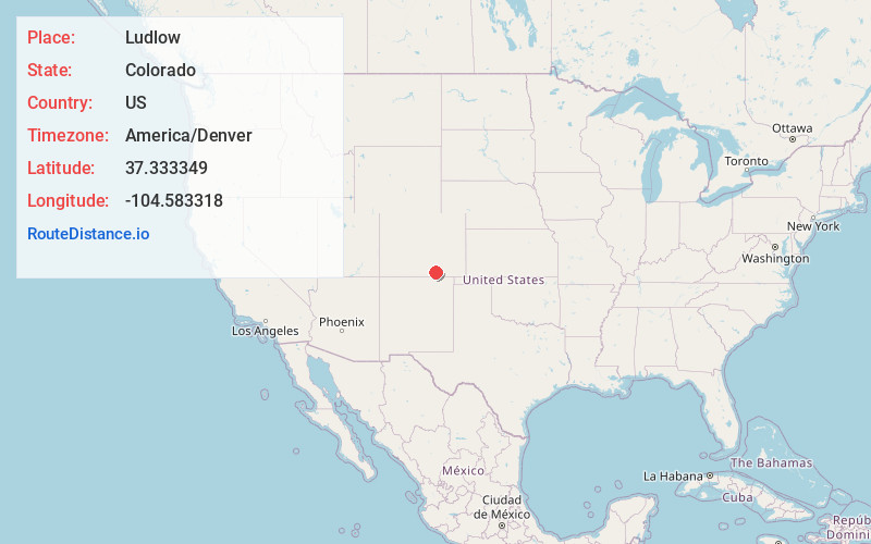
Full AddressLudlow, CO 81082
-
Coordinates37.3333493, -104.583318
-
LocationLudlow , Colorado , US
-
TimezoneAmerica/Denver
-
Current Local Time8:44:34 AM America/DenverFriday, May 30, 2025
-
Page Views0
About Ludlow
Ludlow is a ghost town in Las Animas County, Colorado, United States. It was the site of the Ludlow Massacre–part of the Colorado Coalfield War–in 1914. The town site is located at the entrance to a canyon in the foothills of the Sangre de Cristo Mountains.


Nearby Places
Found 10 places within 50 miles

Aguilar
6.1 mi
9.8 km
Aguilar, CO 81020
Get directions

El Moro
10.1 mi
16.3 km
El Moro, CO 81082
Get directions
Boncarbo
10.3 mi
16.6 km
Boncarbo, CO 81091
Get directions
Rugby
10.5 mi
16.9 km
Rugby, CO 81020
Get directions

Hoehne
11.7 mi
18.8 km
Hoehne, CO
Get directions

Trinidad
12.2 mi
19.6 km
Trinidad, CO 81082
Get directions
Beshoar
12.6 mi
20.3 km
Beshoar, CO 81082
Get directions
Jansen
12.9 mi
20.8 km
Jansen, CO 81082
Get directions

Cokedale
13.2 mi
21.2 km
Cokedale, CO 81082
Get directions
Engleville
14.0 mi
22.5 km
Engleville, CO 81082
Get directions
Location Links
Local Weather
Weather Information
Coming soon!
Location Map
Static map view of Ludlow, Colorado
Browse Places by Distance
Places within specific distances from Ludlow
Short Distances
Long Distances
Click any distance to see all places within that range from Ludlow. Distances shown in miles (1 mile ≈ 1.61 kilometers).