Distance to Luning, Nevada

Calculating Your Route
Just a moment while we process your request...
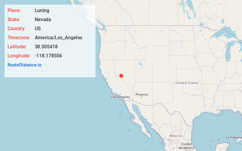
Location Information
-
Full AddressLuning, NV 89420
-
Coordinates38.5054179, -118.1785055
-
LocationLuning , Nevada , US
-
TimezoneAmerica/Los_Angeles
-
Current Local Time6:05:54 AM America/Los_AngelesWednesday, May 21, 2025
-
Page Views0
About Luning
Luning is an unincorporated town in Mineral County, Nevada, in the United States. Luning is located on U.S. Route 95, between Hawthorne and Mina. Luning had an active railroad loading facility for many years.


Nearby Places
Found 10 places within 50 miles

Mina
8.8 mi
14.2 km
Mina, NV 89422
Get directions

Kinkaid
12.0 mi
19.3 km
Kinkaid, NV
Get directions

Marietta
20.1 mi
32.3 km
Marietta, NV
Get directions
Goldyke
23.1 mi
37.2 km
Goldyke, NV
Get directions
Thorne
23.3 mi
37.5 km
Thorne, NV 89415
Get directions

Hawthorne
24.2 mi
38.9 km
Hawthorne, NV 89415
Get directions
Rock House Spring
27.1 mi
43.6 km
Rock House Spring, Nevada 89422
Get directions

Gabbs
28.7 mi
46.2 km
Gabbs, NV 89409
Get directions

Columbus
29.1 mi
46.8 km
Columbus, NV
Get directions

Walker Lake
31.4 mi
50.5 km
Walker Lake, Nevada
Get directions
Location Links
Local Weather
Weather Information
Coming soon!
Location Map
Static map view of Luning, Nevada
Browse Places by Distance
Places within specific distances from Luning
Short Distances
Long Distances
Click any distance to see all places within that range from Luning. Distances shown in miles (1 mile ≈ 1.61 kilometers).