Distance to Columbus, Nevada

Calculating Your Route
Just a moment while we process your request...
Location Information
-
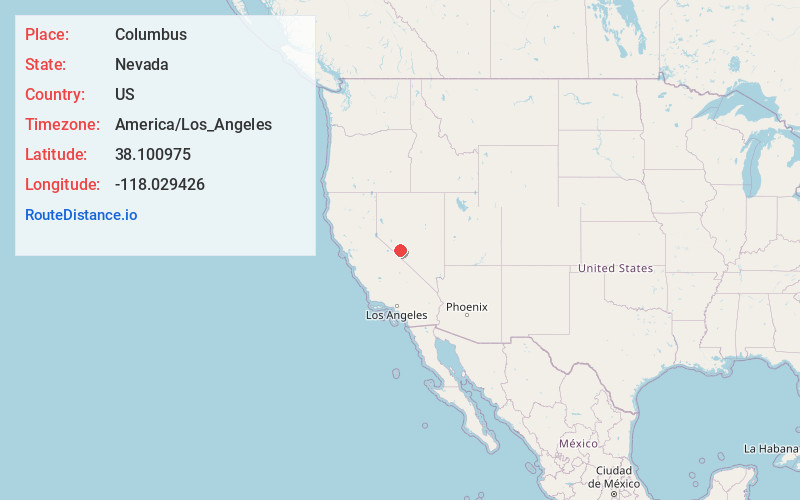
Full AddressColumbus, NV
-
Coordinates38.100975, -118.029426
-
LocationColumbus , Nevada , US
-
TimezoneAmerica/Los_Angeles
-
Current Local Time12:00:37 PM America/Los_AngelesTuesday, June 24, 2025
-
Page Views0
About Columbus
Columbus was a borax mining boom town in Esmeralda County. Its remnants are located on the edge of the Columbus Salt Marsh.


Nearby Places
Found 8 places within 50 miles

Mina
20.5 mi
33.0 km
Mina, NV 89422
Get directions

Dyer
30.0 mi
48.3 km
Dyer, NV 89010
Get directions

Benton
31.2 mi
50.2 km
Benton, CA 93512
Get directions

Silver Peak
32.2 mi
51.8 km
Silver Peak, NV 89047
Get directions

Hammil
35.6 mi
57.3 km
Hammil, CA 93514
Get directions

Tonopah
43.5 mi
70.0 km
Tonopah, NV 89049
Get directions

Hawthorne
43.6 mi
70.2 km
Hawthorne, NV 89415
Get directions

Chalfant
43.7 mi
70.3 km
Chalfant, CA 93514
Get directions
Location Links
Local Weather
Weather Information
Coming soon!
Location Map
Static map view of Columbus, Nevada
Browse Places by Distance
Places within specific distances from Columbus
Short Distances
Long Distances
Click any distance to see all places within that range from Columbus. Distances shown in miles (1 mile ≈ 1.61 kilometers).