Distance to Silver Peak, Nevada

Calculating Your Route
Just a moment while we process your request...
Location Information
-
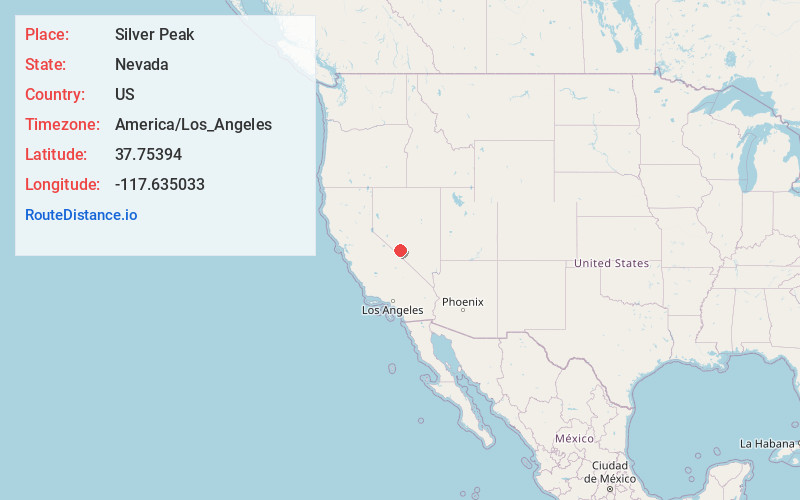
Full AddressSilver Peak, NV 89047
-
Coordinates37.7539403, -117.635033
-
LocationSilver Peak , Nevada , US
-
TimezoneAmerica/Los_Angeles
-
Current Local Time2:09:08 AM America/Los_AngelesSaturday, June 21, 2025
-
Page Views0
About Silver Peak
Silver Peak is an unincorporated community and census-designated place in Esmeralda County, Nevada, United States. It lies along State Route 265, 20 miles south of U.S. Route 6 and 30 miles west of Goldfield, the county seat of Esmeralda County. It has a post office, with the ZIP code of 89047.


Nearby Places
Found 5 places within 50 miles


Location Links
Local Weather
Weather Information
Coming soon!
Location Map
Static map view of Silver Peak, Nevada
Browse Places by Distance
Places within specific distances from Silver Peak
Short Distances
Long Distances
Click any distance to see all places within that range from Silver Peak. Distances shown in miles (1 mile ≈ 1.61 kilometers).