Distance to Lynch Station, Virginia

Calculating Your Route
Just a moment while we process your request...
Location Information
-
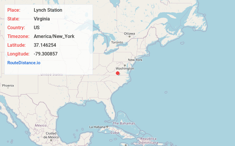
Full AddressLynch Station, VA 24571
-
Coordinates37.1462543, -79.3008574
-
LocationLynch Station , Virginia , US
-
TimezoneAmerica/New_York
-
Current Local Time6:23:42 AM America/New_YorkSunday, June 22, 2025
-
Page Views0
About Lynch Station
Lynch Station is an unincorporated community in Campbell County, Virginia, United States. It is situated just north of the town of Altavista, focused around Route 626. Although technically in Campbell County, some areas in the southeastern part of neighboring Bedford County use Lynch Station as their address.
Nearby Places
Found 10 places within 50 miles

Altavista
2.5 mi
4.0 km
Altavista, VA
Get directions

Hurt
3.7 mi
6.0 km
Hurt, VA 24563
Get directions

Haden Mountain
4.4 mi
7.1 km
Haden Mountain, Virginia 24550
Get directions
Leesville
5.0 mi
8.0 km
Leesville, VA 24571
Get directions
Grit
5.7 mi
9.2 km
Grit, VA 24563
Get directions
Motley
5.8 mi
9.3 km
Motley, VA
Get directions

Evington
6.1 mi
9.8 km
Evington, VA 24550
Get directions
Perrows
6.4 mi
10.3 km
Perrows, VA 24517
Get directions
Taber
7.4 mi
11.9 km
Taber, VA 24554
Get directions
Mentow
7.6 mi
12.2 km
Mentow, VA 24104
Get directions
Location Links
Local Weather
Weather Information
Coming soon!
Location Map
Static map view of Lynch Station, Virginia
Browse Places by Distance
Places within specific distances from Lynch Station
Short Distances
Long Distances
Click any distance to see all places within that range from Lynch Station. Distances shown in miles (1 mile ≈ 1.61 kilometers).