Distance to Perrows, Virginia

Calculating Your Route
Just a moment while we process your request...
Location Information
-
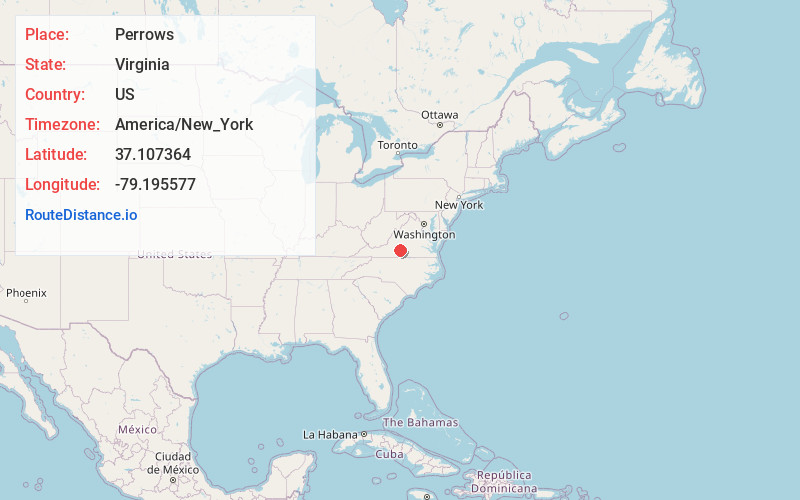
Full AddressPerrows, VA 24517
-
Coordinates37.1073644, -79.1955767
-
LocationVirginia , US
-
TimezoneAmerica/New_York
-
Current Local Time6:23:55 PM America/New_YorkWednesday, May 28, 2025
-
Page Views0
Nearby Places
Found 10 places within 50 miles

Hodges
2.2 mi
3.5 km
Hodges, VA 24554
Get directions
Taber
2.4 mi
3.9 km
Taber, VA 24554
Get directions
Seneca
4.0 mi
6.4 km
Seneca, VA 24554
Get directions

Altavista
5.0 mi
8.0 km
Altavista, VA
Get directions

Hurt
5.6 mi
9.0 km
Hurt, VA 24563
Get directions
Green Hill
7.5 mi
12.1 km
Green Hill, VA 24554
Get directions

Gladys
7.7 mi
12.4 km
Gladys, VA 24554
Get directions
Motley
8.5 mi
13.7 km
Motley, VA
Get directions
Natal
9.2 mi
14.8 km
Natal, VA 24557
Get directions
Winfall
9.8 mi
15.8 km
Winfall, VA 24588
Get directions
Location Links
Local Weather
Weather Information
Coming soon!
Location Map
Static map view of Perrows, Virginia
Browse Places by Distance
Places within specific distances from Perrows
Short Distances
Long Distances
Click any distance to see all places within that range from Perrows. Distances shown in miles (1 mile ≈ 1.61 kilometers).