Distance to and from Gladys, Virginia
Gladys, VA 24554
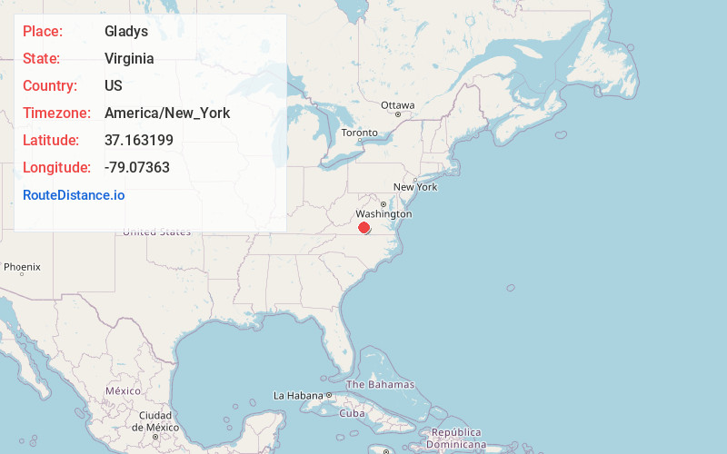
Gladys
Virginia
US
America/New_York
Location Information
-
Full AddressGladys, VA 24554
-
Coordinates37.1631988, -79.0736301
-
LocationGladys , Virginia , US
-
TimezoneAmerica/New_York
-
Current Local Time5:06:01 AM America/New_YorkSunday, May 4, 2025
-
Page Views0
Directions to Nearest Cities
About Gladys
Gladys is an unincorporated community in Campbell County, Virginia, United States. Gladys is located on U.S. Route 501, 10.6 miles northwest of Brookneal. Gladys has a post office with ZIP code 24554, which opened on April 4, 1836.
Shady Grove was listed on the National Register of Historic Places in 1982.

Nearby Places
Found 10 places within 50 miles

Winfall
4.4 mi
7.1 km
Winfall, VA 24588
Get directions
Hodges
5.5 mi
8.9 km
Hodges, VA 24554
Get directions
Naruna
5.6 mi
9.0 km
Naruna, VA 24554
Get directions
Seneca
5.6 mi
9.0 km
Seneca, VA 24554
Get directions
Green Hill
7.0 mi
11.3 km
Green Hill, VA 24554
Get directions

Rustburg
8.0 mi
12.9 km
Rustburg, VA 24588
Get directions
Yellow Branch
8.8 mi
14.2 km
Yellow Branch, VA 24588
Get directions
Taber
9.5 mi
15.3 km
Taber, VA 24554
Get directions
Hat Creek
9.8 mi
15.8 km
Hat Creek, VA 24528
Get directions

Brookneal
10.6 mi
17.1 km
Brookneal, VA 24528
Get directions
Winfall
4.4 mi
7.1 km
Winfall, VA 24588
Hodges
5.5 mi
8.9 km
Hodges, VA 24554
Naruna
5.6 mi
9.0 km
Naruna, VA 24554
Seneca
5.6 mi
9.0 km
Seneca, VA 24554
Green Hill
7.0 mi
11.3 km
Green Hill, VA 24554
Rustburg
8.0 mi
12.9 km
Rustburg, VA 24588
Yellow Branch
8.8 mi
14.2 km
Yellow Branch, VA 24588
Taber
9.5 mi
15.3 km
Taber, VA 24554
Hat Creek
9.8 mi
15.8 km
Hat Creek, VA 24528
Brookneal
10.6 mi
17.1 km
Brookneal, VA 24528
Location Links
Local Weather
Weather Information
Coming soon!
Location Map
Static map view of Gladys, Virginia
Browse Places by Distance
Places within specific distances from Gladys
Short Distances
Long Distances
Click any distance to see all places within that range from Gladys. Distances shown in miles (1 mile ≈ 1.61 kilometers).