Distance to Lyons Falls, New York

Calculating Your Route
Just a moment while we process your request...
Location Information
-
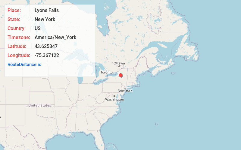
Full AddressLyons Falls, NY
-
Coordinates43.6253468, -75.3671217
-
LocationLyons Falls , New York , US
-
TimezoneAmerica/New_York
-
Current Local Time10:59:10 AM America/New_YorkFriday, May 30, 2025
-
Page Views0
About Lyons Falls
Lyons Falls is a village in Lewis County, New York, United States. The population was 566 at the 2010 census. The village is on the border of the towns of West Turin and Lyonsdale. It is at the junction of state Routes 12 and 12D, approximately 14 miles south of Lowville, the county seat.


Nearby Places
Found 10 places within 50 miles

Lyonsdale
3.1 mi
5.0 km
Lyonsdale, NY 13368
Get directions

Port Leyden
3.1 mi
5.0 km
Port Leyden, NY 13433
Get directions
West Turin
6.4 mi
10.3 km
West Turin, NY
Get directions
Martinsburg
9.3 mi
15.0 km
Martinsburg, NY 13367
Get directions

Boonville
9.9 mi
15.9 km
Boonville, NY 13309
Get directions

Lowville
12.8 mi
20.6 km
Lowville, NY 13367
Get directions

Forestport
15.0 mi
24.1 km
Forestport, NY 13338
Get directions
New Bremen
15.1 mi
24.3 km
New Bremen, NY 13367
Get directions
Ava
15.3 mi
24.6 km
Ava, NY 13303
Get directions

Western
19.4 mi
31.2 km
Western, NY
Get directions
Location Links
Local Weather
Weather Information
Coming soon!
Location Map
Static map view of Lyons Falls, New York
Browse Places by Distance
Places within specific distances from Lyons Falls
Short Distances
Long Distances
Click any distance to see all places within that range from Lyons Falls. Distances shown in miles (1 mile ≈ 1.61 kilometers).