Distance to Mabton, Washington

Calculating Your Route
Just a moment while we process your request...
Location Information
-
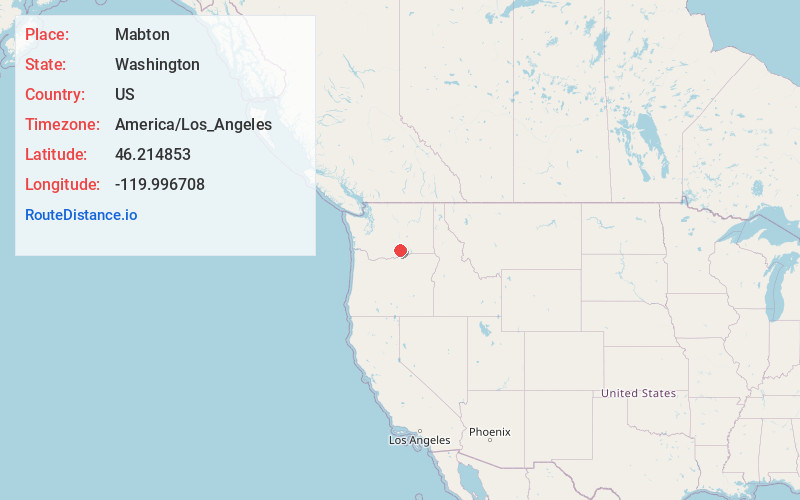
Full AddressMabton, WA 98935
-
Coordinates46.2148534, -119.9967079
-
LocationMabton , Washington , US
-
TimezoneAmerica/Los_Angeles
-
Current Local Time9:06:16 PM America/Los_AngelesMonday, June 2, 2025
-
Page Views0
About Mabton
Mabton is a city in Yakima County, Washington, United States. The population was 1,959 at the 2020 census. Incorporated during the first few years of the 20th century, it is located at the eastern edge of the Yakama Indian Reservation.

Nearby Places
Found 10 places within 50 miles

Grandview
5.2 mi
8.4 km
Grandview, WA 98930
Get directions

Sunnyside
7.5 mi
12.1 km
Sunnyside, WA
Get directions

Prosser
10.9 mi
17.5 km
Prosser, WA 99350
Get directions

Granger
12.7 mi
20.4 km
Granger, WA 98932
Get directions

Zillah
18.1 mi
29.1 km
Zillah, WA 98953
Get directions

Toppenish
18.7 mi
30.1 km
Toppenish, WA 98948
Get directions

Benton City
24.5 mi
39.4 km
Benton City, WA 99320
Get directions

Wapato
25.8 mi
41.5 km
Wapato, WA 98951
Get directions

Boardman
29.6 mi
47.6 km
Boardman, OR 97818
Get directions

Moxee
29.8 mi
48.0 km
Moxee, WA
Get directions
Location Links
Local Weather
Weather Information
Coming soon!
Location Map
Static map view of Mabton, Washington
Browse Places by Distance
Places within specific distances from Mabton
Short Distances
Long Distances
Click any distance to see all places within that range from Mabton. Distances shown in miles (1 mile ≈ 1.61 kilometers).