Distance to Wapato, Washington

Calculating Your Route
Just a moment while we process your request...
Location Information
-
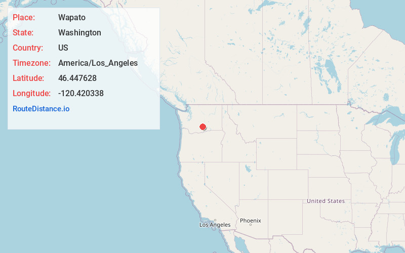
Full AddressWapato, WA 98951
-
Coordinates46.4476278, -120.4203382
-
LocationWapato , Washington , US
-
TimezoneAmerica/Los_Angeles
-
Current Local Time6:15:22 AM America/Los_AngelesSunday, June 15, 2025
-
Page Views0
About Wapato
Wapato is a town in Yakima County, Washington, United States. The population was 4,607 at the 2020 census. It has a Hispanic majority.


Nearby Places
Found 9 places within 50 miles

Toppenish
7.2 mi
11.6 km
Toppenish, WA 98948
Get directions

Union Gap
8.0 mi
12.9 km
Union Gap, WA 98903
Get directions

Terrace Heights
11.0 mi
17.7 km
Terrace Heights, WA 98901
Get directions

Yakima
11.4 mi
18.3 km
Yakima, WA
Get directions

Selah
15.2 mi
24.5 km
Selah, WA
Get directions

Sunnyside
21.4 mi
34.4 km
Sunnyside, WA
Get directions

Grandview
28.2 mi
45.4 km
Grandview, WA 98930
Get directions

Prosser
35.3 mi
56.8 km
Prosser, WA 99350
Get directions

Ellensburg
38.4 mi
61.8 km
Ellensburg, WA
Get directions
Location Links
Local Weather
Weather Information
Coming soon!
Location Map
Static map view of Wapato, Washington
Browse Places by Distance
Places within specific distances from Wapato
Short Distances
Long Distances
Click any distance to see all places within that range from Wapato. Distances shown in miles (1 mile ≈ 1.61 kilometers).