Distance to Macfarlan, West Virginia

Calculating Your Route
Just a moment while we process your request...
Location Information
-
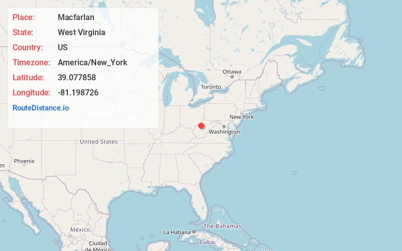
Full AddressMacfarlan, WV 26148
-
Coordinates39.0778582, -81.1987259
-
LocationMacfarlan , West Virginia , US
-
TimezoneAmerica/New_York
-
Current Local Time1:14:09 AM America/New_YorkWednesday, June 25, 2025
-
Page Views0
About Macfarlan
Macfarlan is an unincorporated community in southwestern Ritchie County, West Virginia, United States. It lies along West Virginia Route 47 southwest of the town of Harrisville, the county seat of Ritchie County. Its elevation is 653 feet. It has a post office with the ZIP code 26148.
Nearby Places
Found 10 places within 50 miles

Oxbow
1.3 mi
2.1 km
Oxbow, WV 26143
Get directions
Dutchman
2.2 mi
3.5 km
Dutchman, WV 26148
Get directions
Brohard
3.1 mi
5.0 km
Brohard, WV
Get directions
Beatrice
3.2 mi
5.1 km
Beatrice, WV 26137
Get directions
Girta
3.3 mi
5.3 km
Girta, WV 26143
Get directions
Mellin
3.4 mi
5.5 km
Mellin, WV 26143
Get directions
Racy
4.7 mi
7.6 km
Racy, WV 26161
Get directions

Munday
5.0 mi
8.0 km
Munday, WV 26138
Get directions
Cantwell
5.2 mi
8.4 km
Cantwell, WV 26362
Get directions
Rutherford
5.2 mi
8.4 km
Rutherford, WV 26362
Get directions
Location Links
Local Weather
Weather Information
Coming soon!
Location Map
Static map view of Macfarlan, West Virginia
Browse Places by Distance
Places within specific distances from Macfarlan
Short Distances
Long Distances
Click any distance to see all places within that range from Macfarlan. Distances shown in miles (1 mile ≈ 1.61 kilometers).