Distance to Macochee Castle, Ohio

Calculating Your Route
Just a moment while we process your request...
Location Information
-
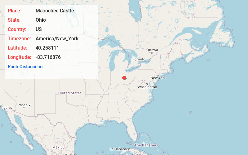
Full AddressMacochee Castle, Monroe Township, OH 43357
-
Coordinates40.2581109, -83.7168763
-
LocationMonroe Township , Ohio , US
-
TimezoneAmerica/New_York
-
Current Local Time2:41:12 AM America/New_YorkFriday, June 20, 2025
-
Page Views0

Nearby Places
Found 10 places within 50 miles

West Liberty
2.1 mi
3.4 km
West Liberty, OH 43357
Get directions

Pickrelltown
4.1 mi
6.6 km
Pickrelltown, Monroe Township, OH 43360
Get directions

Valley Hi
4.2 mi
6.8 km
Valley Hi, OH 43360
Get directions

Kennard
4.9 mi
7.9 km
Kennard, Salem Township, OH 43009
Get directions

Mingo
5.4 mi
8.7 km
Mingo, OH
Get directions

Zanesfield
5.9 mi
9.5 km
Zanesfield, OH
Get directions
Northville
7.3 mi
11.7 km
Northville, Concord Township, OH 43078
Get directions

Bellefontaine
7.5 mi
12.1 km
Bellefontaine, OH 43311
Get directions
Cable
7.7 mi
12.4 km
Cable, OH 43009
Get directions

East Liberty
8.7 mi
14.0 km
East Liberty, OH
Get directions
Location Links
Local Weather
Weather Information
Coming soon!
Location Map
Static map view of Macochee Castle, Ohio
Browse Places by Distance
Places within specific distances from Macochee Castle
Short Distances
Long Distances
Click any distance to see all places within that range from Macochee Castle. Distances shown in miles (1 mile ≈ 1.61 kilometers).