Distance to Madaket, Massachusetts

Calculating Your Route
Just a moment while we process your request...
Location Information
-
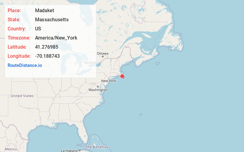
Full AddressMadaket, Nantucket, MA 02554
-
Coordinates41.2769853, -70.1887434
-
NeighborhoodMadaket
-
LocationNantucket , Massachusetts , US
-
TimezoneAmerica/New_York
-
Current Local Time4:13:41 PM America/New_YorkMonday, June 16, 2025
-
Page Views0
About Madaket
Madaket is a census designated place in Nantucket, Massachusetts, United States. The population was 236 at the 2010 census. Its elevation is 26 feet on the western end of the island. The various spellings of its name led the Board on Geographic Names to designate its official spelling in 1966.


Nearby Places
Found 10 places within 50 miles

Nantucket
4.7 mi
7.6 km
Nantucket, MA
Get directions

Edgartown
18.9 mi
30.4 km
Edgartown, MA
Get directions

Oak Bluffs
23.2 mi
37.3 km
Oak Bluffs, MA
Get directions

Tisbury
25.3 mi
40.7 km
Tisbury, MA
Get directions

West Tisbury
26.2 mi
42.2 km
West Tisbury, MA
Get directions

Yarmouth
26.4 mi
42.5 km
Yarmouth, MA
Get directions

Barnstable
27.3 mi
43.9 km
Barnstable, MA
Get directions

Harwich
29.0 mi
46.7 km
Harwich, MA
Get directions

Falmouth
29.1 mi
46.8 km
Falmouth, MA
Get directions

Chilmark
29.2 mi
47.0 km
Chilmark, MA
Get directions
Location Links
Local Weather
Weather Information
Coming soon!
Location Map
Static map view of Madaket, Massachusetts
Browse Places by Distance
Places within specific distances from Madaket
Short Distances
Long Distances
Click any distance to see all places within that range from Madaket. Distances shown in miles (1 mile ≈ 1.61 kilometers).