Distance to Madonnaville, Illinois

Calculating Your Route
Just a moment while we process your request...
Location Information
-
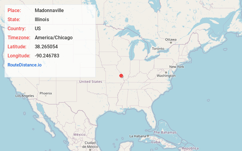
Full AddressMadonnaville, IL 62298
-
Coordinates38.265054, -90.2467828
-
LocationMadonnaville , Illinois , US
-
TimezoneAmerica/Chicago
-
Current Local Time12:29:33 AM America/ChicagoTuesday, June 3, 2025
-
Page Views0
About Madonnaville
Madonnaville, Illinois is a small unincorporated community in the historic Bluff Precinct of Monroe County, Illinois, United States. It was laid out by Joseph W. Ruebsam, who erected the first building and started a store there shortly thereafter. St. Mary's Catholic Church was built in 1857.
Nearby Places
Found 10 places within 50 miles

Maeystown
2.9 mi
4.7 km
Maeystown, IL
Get directions

Valmeyer
3.7 mi
6.0 km
Valmeyer, IL
Get directions
Mitchie
6.0 mi
9.7 km
Mitchie, Precinct 15, IL 62295
Get directions

Fountain
7.0 mi
11.3 km
Fountain, IL 62298
Get directions
Fults
7.0 mi
11.3 km
Fults, IL 62244
Get directions

Waterloo
7.2 mi
11.6 km
Waterloo, IL
Get directions

Pevely
7.9 mi
12.7 km
Pevely, MO
Get directions

Herculaneum
8.0 mi
12.9 km
Herculaneum, MO
Get directions

Crystal City
8.0 mi
12.9 km
Crystal City, MO
Get directions
Tipton
8.2 mi
13.2 km
Tipton, IL 62298
Get directions
Location Links
Local Weather
Weather Information
Coming soon!
Location Map
Static map view of Madonnaville, Illinois
Browse Places by Distance
Places within specific distances from Madonnaville
Short Distances
Long Distances
Click any distance to see all places within that range from Madonnaville. Distances shown in miles (1 mile ≈ 1.61 kilometers).