Distance to Makanda, Illinois

Calculating Your Route
Just a moment while we process your request...
Location Information
-
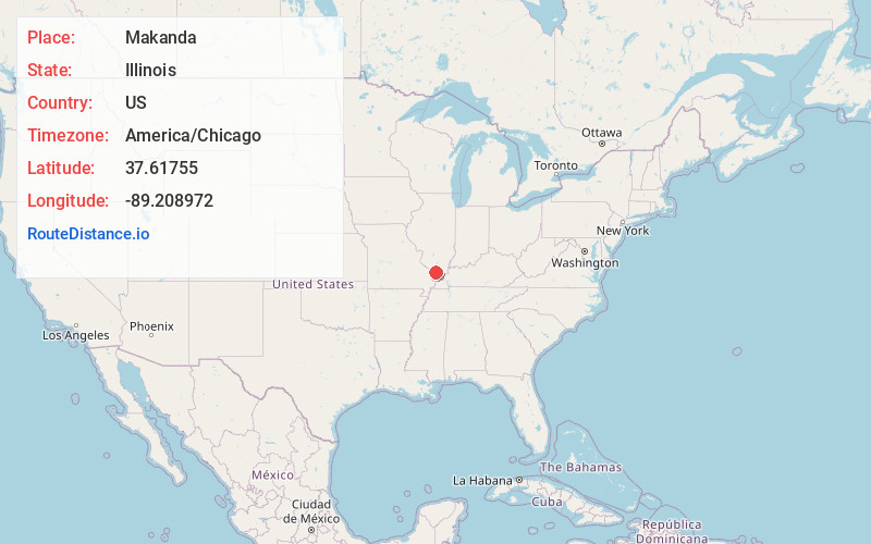
Full AddressMakanda, IL 62958
-
Coordinates37.6175501, -89.2089717
-
LocationMakanda , Illinois , US
-
TimezoneAmerica/Chicago
-
Current Local Time10:05:04 PM America/ChicagoWednesday, June 25, 2025
-
Page Views0
About Makanda
Makanda is a village in Jackson County, Illinois, United States. As of the 2020 United States census, the population was 547, down from 561 in 2010. In the early 20th Century it used the slogan "Star of Egypt."
Makanda is part of the Carbondale, IL Micropolitan Statistical Area.


Nearby Places
Found 10 places within 50 miles

Cobden
6.4 mi
10.3 km
Cobden, IL 62920
Get directions

Carbondale
7.6 mi
12.2 km
Carbondale, IL
Get directions

Anna
11.1 mi
17.9 km
Anna, IL 62906
Get directions

Jonesboro
11.9 mi
19.2 km
Jonesboro, IL
Get directions

Crainville
12.1 mi
19.5 km
Crainville, IL 62918
Get directions

Carterville
12.2 mi
19.6 km
Carterville, IL 62918
Get directions

Murphysboro
12.3 mi
19.8 km
Murphysboro, IL 62966
Get directions

Cambria
12.3 mi
19.8 km
Cambria, IL
Get directions

Goreville
13.7 mi
22.0 km
Goreville, IL
Get directions

De Soto
13.9 mi
22.4 km
De Soto, IL 62924
Get directions
Location Links
Local Weather
Weather Information
Coming soon!
Location Map
Static map view of Makanda, Illinois
Browse Places by Distance
Places within specific distances from Makanda
Short Distances
Long Distances
Click any distance to see all places within that range from Makanda. Distances shown in miles (1 mile ≈ 1.61 kilometers).