Distance to Makin, Indiana

Calculating Your Route
Just a moment while we process your request...
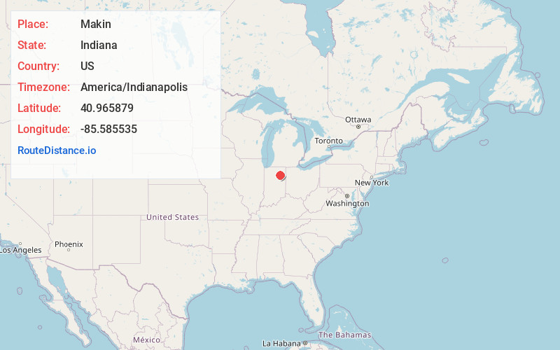
Location Information
-
Full AddressMakin, Warren Township, IN 46750
-
Coordinates40.9658788, -85.5855354
-
LocationWarren Township , Indiana , US
-
TimezoneAmerica/Indianapolis
-
Page Views0
About Makin
Makin is an unincorporated community in Warren Township, Huntington County, Indiana.
Nearby Places
Found 10 places within 50 miles

Bippus
2.5 mi
4.0 km
Bippus, IN 46750
Get directions
Andrews
7.2 mi
11.6 km
Andrews, IN 46702
Get directions

Huntington
7.3 mi
11.7 km
Huntington, IN 46750
Get directions
Servia
8.1 mi
13.0 km
Servia, IN 46962
Get directions

South Whitley
8.5 mi
13.7 km
South Whitley, IN 46787
Get directions
Liberty Mills
9.1 mi
14.6 km
Liberty Mills, IN
Get directions

North Manchester
9.8 mi
15.8 km
North Manchester, IN 46962
Get directions

Roanoke
11.1 mi
17.9 km
Roanoke, IN 46783
Get directions

Lagro
11.6 mi
18.7 km
Lagro, IN
Get directions
Urbana
11.8 mi
19.0 km
Urbana, IN
Get directions
Location Links
Local Weather
Weather Information
Coming soon!
Location Map
Static map view of Makin, Indiana
Browse Places by Distance
Places within specific distances from Makin
Short Distances
Long Distances
Click any distance to see all places within that range from Makin. Distances shown in miles (1 mile ≈ 1.61 kilometers).