Distance to Malabar, Florida

Calculating Your Route
Just a moment while we process your request...
Location Information
-
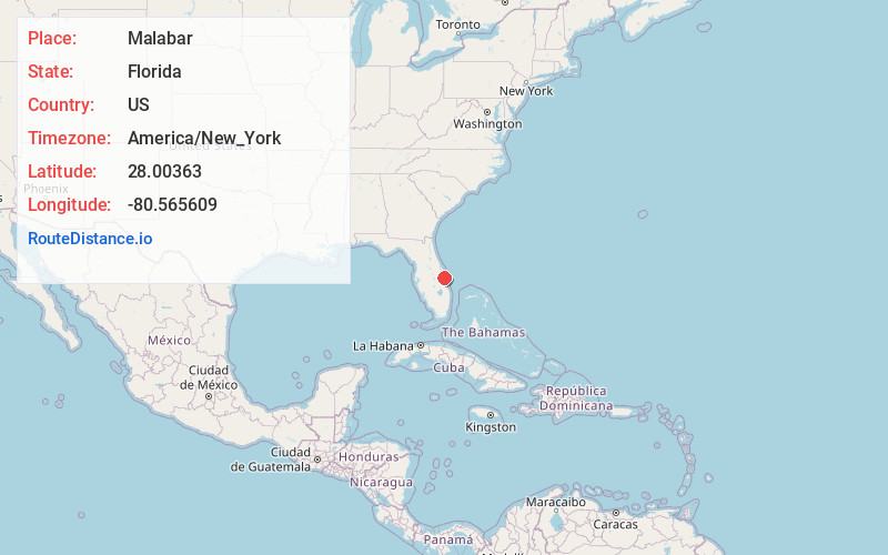
Full AddressMalabar, FL 32950
-
Coordinates28.0036298, -80.5656089
-
LocationMalabar , Florida , US
-
TimezoneAmerica/New_York
-
Current Local Time4:04:29 AM America/New_YorkWednesday, June 18, 2025
-
Page Views0
About Malabar
Malabar is a town in Brevard County, Florida. It is part of the Palm Bay–Melbourne–Titusville, Florida Metropolitan Statistical Area. The population was 2,949 at the 2020 United States census, up from 2,757 at the 2010 census.


Nearby Places
Found 10 places within 50 miles

Palm Bay
2.6 mi
4.2 km
Palm Bay, FL
Get directions

Grant-Valkaria
4.4 mi
7.1 km
Grant-Valkaria, FL
Get directions

Melbourne
5.8 mi
9.3 km
Melbourne, FL
Get directions

Indialantic
5.9 mi
9.5 km
Indialantic, FL 32903
Get directions

West Melbourne
7.1 mi
11.4 km
West Melbourne, FL
Get directions

June Park
8.9 mi
14.3 km
June Park, FL 32904
Get directions

Micco
9.6 mi
15.4 km
Micco, FL 32976
Get directions

South Patrick Shores
14.0 mi
22.5 km
South Patrick Shores, FL 32937
Get directions

Sebastian
14.2 mi
22.9 km
Sebastian, FL
Get directions

Fellsmere
16.4 mi
26.4 km
Fellsmere, FL
Get directions
Location Links
Local Weather
Weather Information
Coming soon!
Location Map
Static map view of Malabar, Florida
Browse Places by Distance
Places within specific distances from Malabar
Short Distances
Long Distances
Click any distance to see all places within that range from Malabar. Distances shown in miles (1 mile ≈ 1.61 kilometers).