Distance to and from Sebastian, Florida
Sebastian, FL
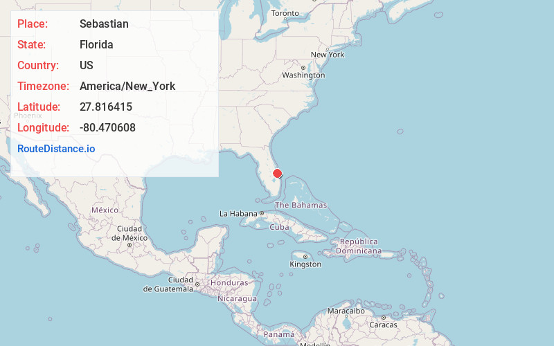
Sebastian
Florida
US
America/New_York
Location Information
-
Full AddressSebastian, FL
-
Coordinates27.816415, -80.4706078
-
LocationSebastian , Florida , US
-
TimezoneAmerica/New_York
-
Current Local Time8:59:06 AM America/New_YorkSunday, May 4, 2025
-
Website
-
Page Views0
Directions to Nearest Cities
About Sebastian
Sebastian is a city in Indian River County, Florida, United States at the confluence of the St. Sebastian River and the Indian River. It is two miles away from the Atlantic Ocean. It is the largest city in Indian River County and the biggest population center between Palm Bay and Fort Pierce.


Nearby Places
Found 7 places within 50 miles

Palm Bay
16.7 mi
26.9 km
Palm Bay, FL
Get directions

Melbourne
20.0 mi
32.2 km
Melbourne, FL
Get directions

West Melbourne
20.9 mi
33.6 km
West Melbourne, FL
Get directions

Fort Pierce
27.0 mi
43.5 km
Fort Pierce, FL
Get directions

Merritt Island
36.7 mi
59.1 km
Merritt Island, FL
Get directions

Rockledge
37.9 mi
61.0 km
Rockledge, FL
Get directions

Port St. Lucie
38.2 mi
61.5 km
Port St. Lucie, FL
Get directions
Palm Bay
16.7 mi
26.9 km
Palm Bay, FL
Melbourne
20.0 mi
32.2 km
Melbourne, FL
West Melbourne
20.9 mi
33.6 km
West Melbourne, FL
Fort Pierce
27.0 mi
43.5 km
Fort Pierce, FL
Merritt Island
36.7 mi
59.1 km
Merritt Island, FL
Rockledge
37.9 mi
61.0 km
Rockledge, FL
Port St. Lucie
38.2 mi
61.5 km
Port St. Lucie, FL
Location Links
Local Weather
Weather Information
Coming soon!
Location Map
Static map view of Sebastian, Florida
Browse Places by Distance
Places within specific distances from Sebastian
Short Distances
Long Distances
Click any distance to see all places within that range from Sebastian. Distances shown in miles (1 mile ≈ 1.61 kilometers).