Distance to Malachite, Colorado

Calculating Your Route
Just a moment while we process your request...
Location Information
-
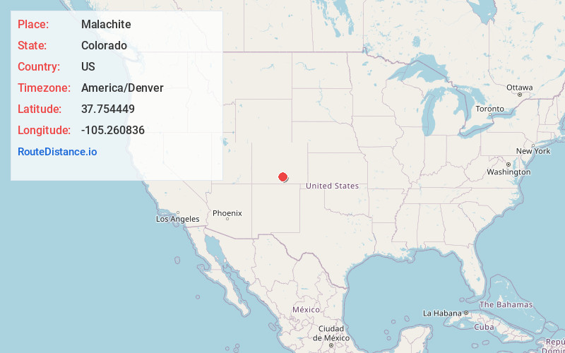
Full AddressMalachite, CO 81040
-
Coordinates37.7544494, -105.2608359
-
LocationColorado , US
-
TimezoneAmerica/Denver
-
Current Local Time12:57:36 AM America/DenverTuesday, May 20, 2025
-
Page Views0
Nearby Places
Found 10 places within 50 miles

Gardner
5.6 mi
9.0 km
Gardner, CO 81040
Get directions

Fir
19.1 mi
30.7 km
Fir, CO 81133
Get directions

Rye
21.5 mi
34.6 km
Rye, CO 81069
Get directions

La Veta
22.0 mi
35.4 km
La Veta, CO 81055
Get directions

Fort Garland
24.4 mi
39.3 km
Fort Garland, CO
Get directions

Apache City
24.5 mi
39.4 km
Apache City, CO 81069
Get directions

Blanca
25.9 mi
41.7 km
Blanca, CO 81123
Get directions

Colorado City
26.7 mi
43.0 km
Colorado City, CO
Get directions

Beulah Valley
26.7 mi
43.0 km
Beulah Valley, CO 81023
Get directions

Walsenburg
27.8 mi
44.7 km
Walsenburg, CO 81089
Get directions
Location Links
Local Weather
Weather Information
Coming soon!
Location Map
Static map view of Malachite, Colorado
Browse Places by Distance
Places within specific distances from Malachite
Short Distances
Long Distances
Click any distance to see all places within that range from Malachite. Distances shown in miles (1 mile ≈ 1.61 kilometers).