Distance to Gardner, Colorado

Calculating Your Route
Just a moment while we process your request...
Location Information
-
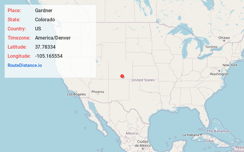
Full AddressGardner, CO 81040
-
Coordinates37.7833397, -105.1655542
-
LocationGardner , Colorado , US
-
TimezoneAmerica/Denver
-
Current Local Time11:37:53 PM America/DenverWednesday, June 18, 2025
-
Page Views0
About Gardner
Gardner is a census-designated place and post office in and governed by Huerfano County, Colorado, United States. The Gardner post office has the ZIP Code 81040. At the United States Census 2020, the population of the Gardner CDP was 106.


Nearby Places
Found 10 places within 50 miles

Rye
16.1 mi
25.9 km
Rye, CO 81069
Get directions

La Veta
21.0 mi
33.8 km
La Veta, CO 81055
Get directions

Colorado City
21.2 mi
34.1 km
Colorado City, CO
Get directions

Beulah Valley
22.4 mi
36.0 km
Beulah Valley, CO 81023
Get directions

Walsenburg
23.8 mi
38.3 km
Walsenburg, CO 81089
Get directions

Fort Garland
28.6 mi
46.0 km
Fort Garland, CO
Get directions

Silver Cliff
28.7 mi
46.2 km
Silver Cliff, CO 81252
Get directions

Westcliffe
29.3 mi
47.2 km
Westcliffe, CO 81252
Get directions

Blanca
30.6 mi
49.2 km
Blanca, CO 81123
Get directions

Aguilar
38.4 mi
61.8 km
Aguilar, CO 81020
Get directions
Location Links
Local Weather
Weather Information
Coming soon!
Location Map
Static map view of Gardner, Colorado
Browse Places by Distance
Places within specific distances from Gardner
Short Distances
Long Distances
Click any distance to see all places within that range from Gardner. Distances shown in miles (1 mile ≈ 1.61 kilometers).