Distance to Westcliffe, Colorado

Calculating Your Route
Just a moment while we process your request...
Location Information
-
Full AddressWestcliffe, CO 81252
-
Coordinates38.1347219, -105.4658353
-
LocationWestcliffe , Colorado , US
-
TimezoneAmerica/Denver
-
Current Local Time4:12:07 PM America/DenverThursday, June 19, 2025
-
Website
-
Page Views0
About Westcliffe
Westcliffe is a statutory town that is the county seat of Custer County, Colorado, United States. At the 2020 U.S. Census, the population was 435.


Nearby Places
Found 10 places within 50 miles

Silver Cliff
1.2 mi
1.9 km
Silver Cliff, CO 81252
Get directions

Rockvale
23.1 mi
37.2 km
Rockvale, CO 81226
Get directions
Williamsburg
24.1 mi
38.8 km
Williamsburg, CO 81226
Get directions

Florence
25.8 mi
41.5 km
Florence, CO
Get directions

Beulah Valley
26.3 mi
42.3 km
Beulah Valley, CO 81023
Get directions
Park Center Lateral
27.6 mi
44.4 km
Park Center Lateral, Colorado 81212
Get directions

Howard
29.5 mi
47.5 km
Howard, CO
Get directions

Penrose
31.3 mi
50.4 km
Penrose, CO 81240
Get directions

Colorado City
36.7 mi
59.1 km
Colorado City, CO
Get directions

Saguache
36.9 mi
59.4 km
Saguache, CO 81149
Get directions
Location Links
Local Weather
Weather Information
Coming soon!
Location Map
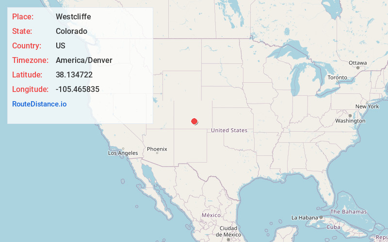
Static map view of Westcliffe, Colorado
Browse Places by Distance
Places within specific distances from Westcliffe
Short Distances
Long Distances
Click any distance to see all places within that range from Westcliffe. Distances shown in miles (1 mile ≈ 1.61 kilometers).