Distance to Malaga, Ohio

Calculating Your Route
Just a moment while we process your request...
Location Information
-
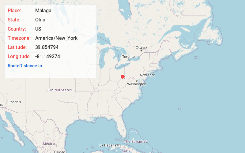
Full AddressMalaga, OH 43747
-
Coordinates39.8547941, -81.1492737
-
LocationMalaga , Ohio , US
-
TimezoneAmerica/New_York
-
Current Local Time11:04:07 PM America/New_YorkWednesday, June 18, 2025
-
Page Views0
About Malaga
Malaga is an unincorporated community in northern Malaga Township, Monroe County, Ohio, United States. Malaga has a ZIP code of 43747. It lies at the intersection of State Routes 145 and 800.
The community was named after Málaga, in Spain.
Nearby Places
Found 10 places within 50 miles

Miltonsburg
1.9 mi
3.1 km
Miltonsburg, OH 43793
Get directions

Jerusalem
3.0 mi
4.8 km
Jerusalem, OH
Get directions
Monroefield
3.7 mi
6.0 km
Monroefield, Malaga Township, OH 43793
Get directions

Wilson
4.4 mi
7.1 km
Wilson, OH 43716
Get directions

Temperanceville
5.6 mi
9.0 km
Temperanceville, Somerset Township, OH 43713
Get directions
Beallsville
6.0 mi
9.7 km
Beallsville, OH 43716
Get directions

Woodsfield
6.6 mi
10.6 km
Woodsfield, OH 43793
Get directions
Calais
6.7 mi
10.8 km
Calais, Seneca Township, OH 43773
Get directions
Coats
7.0 mi
11.3 km
Coats, OH 43716
Get directions

Lewisville
7.2 mi
11.6 km
Lewisville, OH 43754
Get directions
Location Links
Local Weather
Weather Information
Coming soon!
Location Map
Static map view of Malaga, Ohio
Browse Places by Distance
Places within specific distances from Malaga
Short Distances
Long Distances
Click any distance to see all places within that range from Malaga. Distances shown in miles (1 mile ≈ 1.61 kilometers).