Distance to Malibu, California

Calculating Your Route
Just a moment while we process your request...
Location Information
-
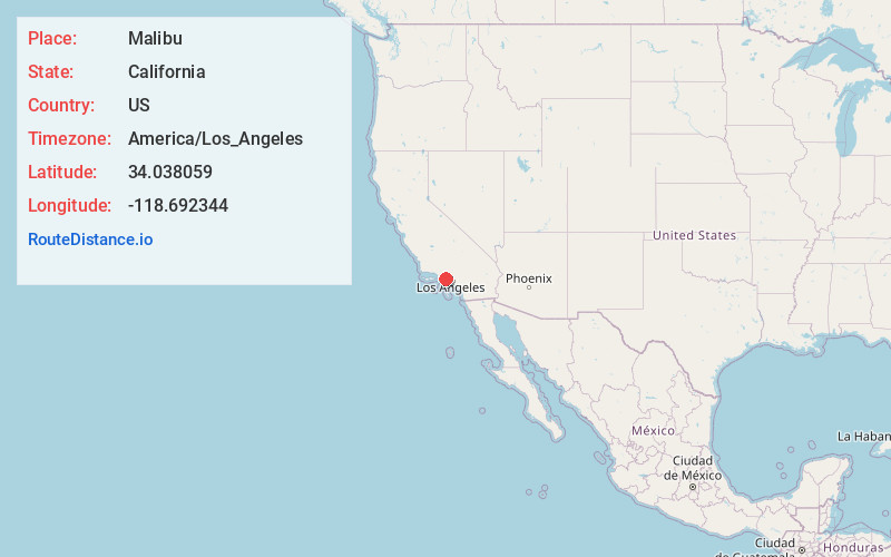
Full AddressMalibu, CA
-
Coordinates34.0380585, -118.6923438
-
LocationMalibu , California , US
-
TimezoneAmerica/Los_Angeles
-
Current Local Time6:56:45 PM America/Los_AngelesSunday, June 1, 2025
-
Website
-
Page Views0
About Malibu
Malibu is a city west of Los Angeles, California. It’s known for its celebrity homes and beaches, including wide and sandy Zuma Beach. To the east is Malibu Lagoon State Beach, known as Surfrider Beach for its waves. Nearby is the Spanish Revival–style Adamson House, with local history displays in its Malibu Lagoon Museum. Inland, trails weave through canyons, waterfalls and grasslands in the Santa Monica Mountains.


Nearby Places
Found 10 places within 50 miles

Calabasas
8.4 mi
13.5 km
Calabasas, CA
Get directions

Agoura Hills
8.9 mi
14.3 km
Agoura Hills, CA 91301
Get directions

Oak Park
10.6 mi
17.1 km
Oak Park, CA 91377
Get directions

Santa Monica
11.6 mi
18.7 km
Santa Monica, CA
Get directions

Thousand Oaks
13.1 mi
21.1 km
Thousand Oaks, CA
Get directions

Simi Valley
16.8 mi
27.0 km
Simi Valley, CA
Get directions

Beverly Hills
16.8 mi
27.0 km
Beverly Hills, CA
Get directions

Culver City
17.0 mi
27.4 km
Culver City, CA
Get directions

El Segundo
17.8 mi
28.6 km
El Segundo, CA
Get directions

Inglewood
20.0 mi
32.2 km
Inglewood, CA
Get directions
Location Links
Local Weather
Weather Information
Coming soon!
Location Map
Static map view of Malibu, California
Browse Places by Distance
Places within specific distances from Malibu
Short Distances
Long Distances
Click any distance to see all places within that range from Malibu. Distances shown in miles (1 mile ≈ 1.61 kilometers).