Distance to Maljamar, New Mexico

Calculating Your Route
Just a moment while we process your request...
Location Information
-
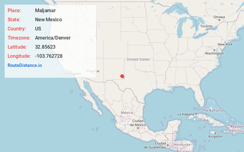
Full AddressMaljamar, NM 88264
-
Coordinates32.8562301, -103.7627277
-
LocationMaljamar , New Mexico , US
-
TimezoneAmerica/Denver
-
Current Local Time3:28:01 AM America/DenverSaturday, June 21, 2025
-
Page Views0
About Maljamar
Maljamar is an unincorporated community in Lea County, New Mexico, United States. The zip code is 88264. It is close to Hobbs and Carlsbad.
According to legend, Maljamar's founder William Mitchell named the town after his three children Malcom, Janet and Margaret.


Nearby Places
Found 10 places within 50 miles

Loco Hills
12.9 mi
20.8 km
Loco Hills, NM 88255
Get directions

Lovington
24.8 mi
39.9 km
Lovington, NM 88260
Get directions

McDonald
32.4 mi
52.1 km
McDonald, NM 88260
Get directions

Monument
33.1 mi
53.3 km
Monument, NM 88240
Get directions

Lake Arthur
36.4 mi
58.6 km
Lake Arthur, NM 88253
Get directions
Espuela
36.6 mi
58.9 km
Espuela, NM 88210
Get directions
Mossman
36.9 mi
59.4 km
Mossman, NM 88232
Get directions
Atoka
37.0 mi
59.5 km
Atoka, NM 88210
Get directions
Caprock
37.1 mi
59.7 km
Caprock, NM 88213
Get directions

Artesia
37.2 mi
59.9 km
Artesia, NM 88210
Get directions
Location Links
Local Weather
Weather Information
Coming soon!
Location Map
Static map view of Maljamar, New Mexico
Browse Places by Distance
Places within specific distances from Maljamar
Short Distances
Long Distances
Click any distance to see all places within that range from Maljamar. Distances shown in miles (1 mile ≈ 1.61 kilometers).