Distance to McDonald, New Mexico

Calculating Your Route
Just a moment while we process your request...
Location Information
-
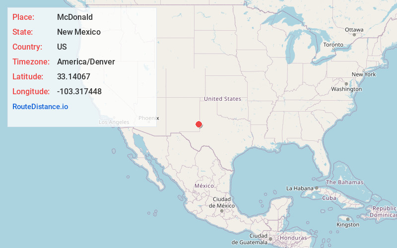
Full AddressMcDonald, NM 88260
-
Coordinates33.1406704, -103.3174478
-
LocationMcDonald , New Mexico , US
-
TimezoneAmerica/Denver
-
Current Local Time11:59:23 PM America/DenverFriday, June 20, 2025
-
Page Views0
About McDonald
McDonald is an unincorporated community located in Lea County, New Mexico, United States. The community is located on New Mexico State Road 206, 13.7 miles north of Lovington. McDonald had its own post office from May 9, 1912, until August 21, 2010; it still has its own ZIP code, 88262.
Nearby Places
Found 10 places within 50 miles

Lovington
13.7 mi
22.0 km
Lovington, NM 88260
Get directions

Plains
28.5 mi
45.9 km
Plains, TX 79355
Get directions

Denver City
30.8 mi
49.6 km
Denver City, TX 79323
Get directions

Monument
35.8 mi
57.6 km
Monument, NM 88240
Get directions

Bledsoe
37.2 mi
59.9 km
Bledsoe, TX
Get directions

Loco Hills
44.4 mi
71.5 km
Loco Hills, NM 88255
Get directions

Seagraves
45.7 mi
73.5 km
Seagraves, TX 79359
Get directions
Richland
47.2 mi
76.0 km
Richland, NM 88132
Get directions
Jones City
47.6 mi
76.6 km
Jones City, NM 88231
Get directions

Pep
48.1 mi
77.4 km
Pep, NM 88126
Get directions
Location Links
Local Weather
Weather Information
Coming soon!
Location Map
Static map view of McDonald, New Mexico
Browse Places by Distance
Places within specific distances from McDonald
Short Distances
Long Distances
Click any distance to see all places within that range from McDonald. Distances shown in miles (1 mile ≈ 1.61 kilometers).