Distance to Manalapan, Florida

Calculating Your Route
Just a moment while we process your request...
Location Information
-
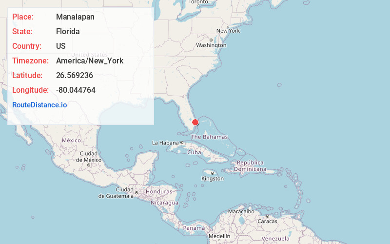
Full AddressManalapan, FL
-
Coordinates26.5692364, -80.0447635
-
LocationManalapan , Florida , US
-
TimezoneAmerica/New_York
-
Current Local Time3:32:50 AM America/New_YorkWednesday, June 18, 2025
-
Page Views0
About Manalapan
Manalapan is a town in Palm Beach County, Florida, United States. It is part of the Miami metropolitan area of South Florida. The population was 419 at the 2020 United States census.


Nearby Places
Found 10 places within 50 miles

Hypoluxo
0.6 mi
1.0 km
Hypoluxo, FL 33462
Get directions

San Castle
1.1 mi
1.8 km
San Castle, FL 33462
Get directions

Lantana
1.3 mi
2.1 km
Lantana, FL
Get directions

Ocean Ridge
2.9 mi
4.7 km
Ocean Ridge, FL 33435
Get directions

Atlantis
3.8 mi
6.1 km
Atlantis, FL
Get directions

Boynton Beach
3.8 mi
6.1 km
Boynton Beach, FL
Get directions
Briny Breezes
4.2 mi
6.8 km
Briny Breezes, FL 33435
Get directions

Gulf Stream
5.3 mi
8.5 km
Gulf Stream, FL 33483
Get directions

Palm Springs
5.6 mi
9.0 km
Palm Springs, FL
Get directions

Lake Clarke Shores
5.6 mi
9.0 km
Lake Clarke Shores, FL
Get directions
Location Links
Local Weather
Weather Information
Coming soon!
Location Map
Static map view of Manalapan, Florida
Browse Places by Distance
Places within specific distances from Manalapan
Short Distances
Long Distances
Click any distance to see all places within that range from Manalapan. Distances shown in miles (1 mile ≈ 1.61 kilometers).