Distance to Manara, Ohio

Calculating Your Route
Just a moment while we process your request...
Location Information
-
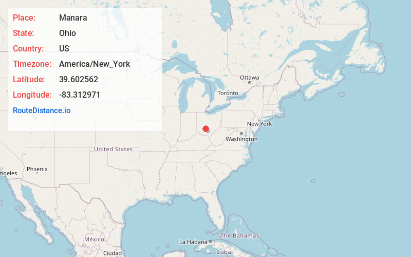
Full AddressManara, Marion Township, OH 43145
-
Coordinates39.6025617, -83.3129709
-
LocationMarion Township , Ohio , US
-
TimezoneAmerica/New_York
-
Current Local Time2:41:10 AM America/New_YorkFriday, June 20, 2025
-
Page Views0
About Manara
Manara is an unincorporated community in Marion Township, Fayette County, Ohio, United States. It is located at the intersection of Washington-Waterloo Road and Bloomingburg-New Holland Road.
Nearby Places
Found 10 places within 50 miles

Madison Mills
3.8 mi
6.1 km
Madison Mills, Madison Township, OH 43143
Get directions
Bloomingburg
4.4 mi
7.1 km
Bloomingburg, OH 43106
Get directions

New Holland
4.5 mi
7.2 km
New Holland, OH 43145
Get directions
Yankeetown
4.7 mi
7.6 km
Yankeetown, OH 43143
Get directions
Indian Camp Run
6.5 mi
10.5 km
Indian Camp Run, Wayne Township, OH 43160
Get directions
Atlanta
7.1 mi
11.4 km
Atlanta, OH 43145
Get directions
Grange Hall
7.1 mi
11.4 km
Grange Hall, OH 43143
Get directions
Plano
7.5 mi
12.1 km
Plano, OH 43160
Get directions
Burr Oaks Heights
7.8 mi
12.6 km
Burr Oaks Heights, OH 43143
Get directions

Washington Court House
8.0 mi
12.9 km
Washington Court House, OH 43160
Get directions
Location Links
Local Weather
Weather Information
Coming soon!
Location Map
Static map view of Manara, Ohio
Browse Places by Distance
Places within specific distances from Manara
Short Distances
Long Distances
Click any distance to see all places within that range from Manara. Distances shown in miles (1 mile ≈ 1.61 kilometers).