Distance to Yankeetown, Ohio

Calculating Your Route
Just a moment while we process your request...
Location Information
-
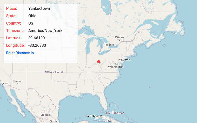
Full AddressYankeetown, OH 43143
-
Coordinates39.66139, -83.26833
-
LocationYankeetown , Ohio , US
-
TimezoneAmerica/New_York
-
Current Local Time7:50:58 PM America/New_YorkThursday, June 19, 2025
-
Page Views0
About Yankeetown
Yankeetown is an unincorporated community in Madison Township, Fayette County, Ohio, United States. It is located at the intersection of State Route 207 and Cook-Yankeetown Road, about 3 miles south of Mount Sterling.
Nearby Places
Found 10 places within 50 miles

Burr Oaks Heights
3.5 mi
5.6 km
Burr Oaks Heights, OH 43143
Get directions
Madison Mills
3.8 mi
6.1 km
Madison Mills, Madison Township, OH 43143
Get directions

Mt Sterling
4.0 mi
6.4 km
Mt Sterling, OH 43143
Get directions

New Holland
7.4 mi
11.9 km
New Holland, OH 43145
Get directions
Bloomingburg
7.8 mi
12.6 km
Bloomingburg, OH 43106
Get directions

Derby
8.1 mi
13.0 km
Derby, OH 43146
Get directions
Darbyville
8.6 mi
13.8 km
Darbyville, OH
Get directions

Williamsport
9.4 mi
15.1 km
Williamsport, OH 43164
Get directions
Harrisburg
11.5 mi
18.5 km
Harrisburg, OH
Get directions

Orient
11.7 mi
18.8 km
Orient, OH 43146
Get directions
Location Links
Local Weather
Weather Information
Coming soon!
Location Map
Static map view of Yankeetown, Ohio
Browse Places by Distance
Places within specific distances from Yankeetown
Short Distances
Long Distances
Click any distance to see all places within that range from Yankeetown. Distances shown in miles (1 mile ≈ 1.61 kilometers).