Distance to Mt Sterling, Ohio

Calculating Your Route
Just a moment while we process your request...
Location Information
-
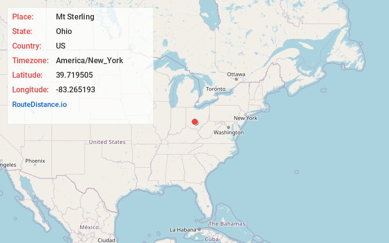
Full AddressMt Sterling, OH 43143
-
Coordinates39.7195054, -83.2651926
-
LocationMt Sterling , Ohio , US
-
TimezoneAmerica/New_York
-
Current Local Time4:15:19 AM America/New_YorkFriday, June 20, 2025
-
Page Views0
About Mt Sterling
Mount Sterling is a village in Madison County, Ohio, United States. The population was 1,945 at the 2020 census. It is a part of the Columbus, Ohio Metropolitan Statistical Area.


Nearby Places
Found 10 places within 50 miles

Grove City
14.5 mi
23.3 km
Grove City, OH
Get directions

South Bloomfield
14.8 mi
23.8 km
South Bloomfield, OH
Get directions

London
15.1 mi
24.3 km
London, OH 43140
Get directions

West Jefferson
15.6 mi
25.1 km
West Jefferson, OH
Get directions

Washington Court House
15.6 mi
25.1 km
Washington Court House, OH 43160
Get directions

Jeffersonville
16.5 mi
26.6 km
Jeffersonville, OH
Get directions

Lake Darby
16.5 mi
26.6 km
Lake Darby, OH 43119
Get directions

Ashville
16.6 mi
26.7 km
Ashville, OH 43103
Get directions

Circleville
18.9 mi
30.4 km
Circleville, OH 43113
Get directions

Choctaw Lake
20.3 mi
32.7 km
Choctaw Lake, OH 43140
Get directions
Location Links
Local Weather
Weather Information
Coming soon!
Location Map
Static map view of Mt Sterling, Ohio
Browse Places by Distance
Places within specific distances from Mt Sterling
Short Distances
Long Distances
Click any distance to see all places within that range from Mt Sterling. Distances shown in miles (1 mile ≈ 1.61 kilometers).