Distance to Mancos, Colorado

Calculating Your Route
Just a moment while we process your request...
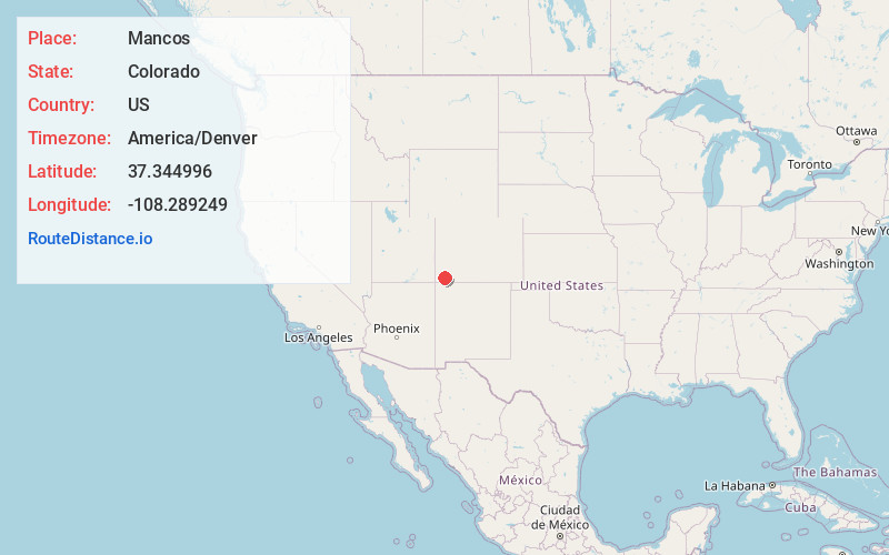
Location Information
-
Full AddressMancos, CO 81328
-
Coordinates37.344996, -108.2892487
-
LocationMancos , Colorado , US
-
TimezoneAmerica/Denver
-
Current Local Time1:02:09 PM America/DenverFriday, June 20, 2025
-
Website
-
Page Views0
About Mancos
Mancos is a statutory town in Montezuma County, Colorado, United States. The population was 1,196 at the 2020 census, down from 1,336 in 2010.
The town is in southwestern Colorado, at the base of Mesa Verde National Park, and holds the trademark for "Gateway to Mesa Verde".


Nearby Places
Found 10 places within 50 miles

Cortez
16.3 mi
26.2 km
Cortez, CO 81321
Get directions

Durango
23.1 mi
37.2 km
Durango, CO
Get directions

Towaoc
26.1 mi
42.0 km
Towaoc, CO 81321
Get directions

La Plata
29.3 mi
47.2 km
La Plata, NM
Get directions

Bayfield
38.9 mi
62.6 km
Bayfield, CO 81122
Get directions

Ignacio
39.4 mi
63.4 km
Ignacio, CO 81137
Get directions

Flora Vista
39.7 mi
63.9 km
Flora Vista, NM
Get directions
Waterflow
42.0 mi
67.6 km
Waterflow, NM
Get directions

Farmington
42.8 mi
68.9 km
Farmington, NM
Get directions

Upper Fruitland
43.5 mi
70.0 km
Upper Fruitland, NM
Get directions
Location Links
Local Weather
Weather Information
Coming soon!
Location Map
Static map view of Mancos, Colorado
Browse Places by Distance
Places within specific distances from Mancos
Short Distances
Long Distances
Click any distance to see all places within that range from Mancos. Distances shown in miles (1 mile ≈ 1.61 kilometers).