Distance to Mandaree, North Dakota

Calculating Your Route
Just a moment while we process your request...
Location Information
-
Full AddressMandaree, ND 58757
-
Coordinates47.7319773, -102.6738347
-
LocationMandaree , North Dakota , US
-
TimezoneAmerica/Chicago
-
Current Local Time5:39:08 AM America/ChicagoWednesday, June 18, 2025
-
Page Views0
About Mandaree
Mandaree is a census-designated place in McKenzie County, North Dakota, United States. The population was 691 at the 2020 census, up from 596 in 2010.
Mandaree is located on the Fort Berthold Indian Reservation in the Mandan, Hidatsa and Arikara Nation.


Nearby Places
Found 6 places within 50 miles

New Town
19.2 mi
30.9 km
New Town, ND 58763
Get directions

Watford City
28.7 mi
46.2 km
Watford City, ND 58854
Get directions

Parshall
29.3 mi
47.2 km
Parshall, ND 58770
Get directions

Stanley
42.5 mi
68.4 km
Stanley, ND 58784
Get directions

Tioga
47.6 mi
76.6 km
Tioga, ND 58852
Get directions

Ray
48.0 mi
77.2 km
Ray, ND 58849
Get directions
Location Links
Local Weather
Weather Information
Coming soon!
Location Map
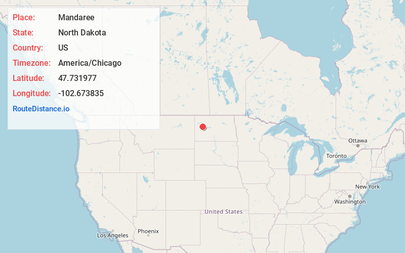
Static map view of Mandaree, North Dakota
Browse Places by Distance
Places within specific distances from Mandaree
Short Distances
Long Distances
Click any distance to see all places within that range from Mandaree. Distances shown in miles (1 mile ≈ 1.61 kilometers).