Distance to Manderfield, Utah

Calculating Your Route
Just a moment while we process your request...
Location Information
-
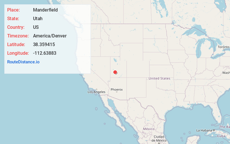
Full AddressManderfield, UT 84713
-
Coordinates38.3594151, -112.6388303
-
LocationManderfield , Utah , US
-
TimezoneAmerica/Denver
-
Current Local Time8:55:09 PM America/DenverSunday, May 18, 2025
-
Page Views0
About Manderfield
Manderfield is an unincorporated community located in Beaver County, Utah, United States. Its elevation is 6,148 feet.


Nearby Places
Found 10 places within 50 miles

North Creek
3.6 mi
5.8 km
North Creek, UT 84713
Get directions

Beaver
5.7 mi
9.2 km
Beaver, UT 84713
Get directions

Greenville
8.3 mi
13.4 km
Greenville, UT 84731
Get directions
Lower Kimberly
16.2 mi
26.1 km
Lower Kimberly, UT 84766
Get directions

Minersville
18.4 mi
29.6 km
Minersville, UT 84752
Get directions

Milford
20.3 mi
32.7 km
Milford, UT 84751
Get directions
Bone Valley
20.6 mi
33.2 km
Bone Valley, UT 84759
Get directions
Alunite
21.3 mi
34.3 km
Alunite, UT 84750
Get directions
Belknap
23.0 mi
37.0 km
Belknap, UT 84766
Get directions

Marysvale
23.0 mi
37.0 km
Marysvale, UT 84750
Get directions
Location Links
Local Weather
Weather Information
Coming soon!
Location Map
Static map view of Manderfield, Utah
Browse Places by Distance
Places within specific distances from Manderfield
Short Distances
Long Distances
Click any distance to see all places within that range from Manderfield. Distances shown in miles (1 mile ≈ 1.61 kilometers).