Distance to Manfred, North Dakota

Calculating Your Route
Just a moment while we process your request...
Location Information
-
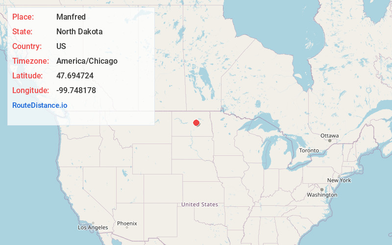
Full AddressManfred, ND 58341
-
Coordinates47.6947241, -99.748178
-
LocationManfred , North Dakota , US
-
TimezoneAmerica/Chicago
-
Current Local Time4:20:54 AM America/ChicagoWednesday, June 18, 2025
-
Page Views0
About Manfred
Manfred is an unincorporated community in Wells County, North Dakota, United States. Manfred is located along U.S. Route 52 and the Canadian Pacific Railway, 10.1 miles east-southeast of Harvey. The Vang Evangelical Lutheran Church, which is listed on the National Register of Historic Places, is located in Manfred.
Nearby Places
Found 10 places within 50 miles

Fessenden
6.4 mi
10.3 km
Fessenden, ND 58438
Get directions

Heimdal
8.3 mi
13.4 km
Heimdal, ND 58341
Get directions
Wellsburg
9.5 mi
15.3 km
Wellsburg, ND 58341
Get directions

Harvey
10.1 mi
16.3 km
Harvey, ND 58341
Get directions
Hamberg
11.8 mi
19.0 km
Hamberg, ND
Get directions
Emrick
13.0 mi
20.9 km
Emrick, ND 58422
Get directions
Selz
13.1 mi
21.1 km
Selz, ND 58341
Get directions

Bowdon
15.7 mi
25.3 km
Bowdon, ND 58418
Get directions
Bremen
17.2 mi
27.7 km
Bremen, ND 58422
Get directions
Chaseley
17.2 mi
27.7 km
Chaseley, ND 58423
Get directions
Location Links
Local Weather
Weather Information
Coming soon!
Location Map
Static map view of Manfred, North Dakota
Browse Places by Distance
Places within specific distances from Manfred
Short Distances
Long Distances
Click any distance to see all places within that range from Manfred. Distances shown in miles (1 mile ≈ 1.61 kilometers).