Distance to Manfred, Arkansas

Calculating Your Route
Just a moment while we process your request...
Location Information
-
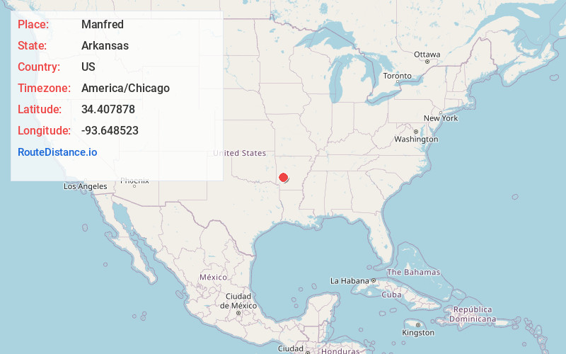
Full AddressManfred, AR 71935
-
Coordinates34.4078775, -93.6485234
-
LocationManfred , Arkansas , US
-
TimezoneAmerica/Chicago
-
Current Local Time5:47:42 PM America/ChicagoFriday, June 20, 2025
-
Page Views0
Nearby Places
Found 10 places within 50 miles

Caddo Gap
1.7 mi
2.7 km
Caddo Gap, AR 71935
Get directions

Norman
3.7 mi
6.0 km
Norman, AR 71960
Get directions

Hopper
4.1 mi
6.6 km
Hopper, AR 71935
Get directions

Black Springs
5.2 mi
8.4 km
Black Springs, AR 71960
Get directions

Huddleston Creek
5.3 mi
8.5 km
Huddleston Creek, Arkansas 71960
Get directions
Lodi
7.5 mi
12.1 km
Lodi, AR 71943
Get directions

Glenwood
7.9 mi
12.7 km
Glenwood, AR
Get directions

Mt Ida
10.4 mi
16.7 km
Mt Ida, AR 71957
Get directions

Kirby
10.9 mi
17.5 km
Kirby, AR
Get directions
Alamo
11.2 mi
18.0 km
Alamo, AR 71960
Get directions
Location Links
Local Weather
Weather Information
Coming soon!
Location Map
Static map view of Manfred, Arkansas
Browse Places by Distance
Places within specific distances from Manfred
Short Distances
Long Distances
Click any distance to see all places within that range from Manfred. Distances shown in miles (1 mile ≈ 1.61 kilometers).