Distance to Manganese, Minnesota

Calculating Your Route
Just a moment while we process your request...
Location Information
-
Full AddressManganese, MN 56441
-
Coordinates46.526604, -94.010582
-
LocationManganese , Minnesota , US
-
TimezoneAmerica/Chicago
-
Current Local Time10:14:36 PM America/ChicagoWednesday, June 18, 2025
-
Page Views0
About Manganese
Manganese is a ghost town and former mining community in the U.S. state of Minnesota that was inhabited between 1912 and 1960. It was built in Crow Wing County on the Cuyuna Iron Range in sections 23 and 28 of Wolford Township, about 2 miles north of Trommald, Minnesota.
Nearby Places
Found 10 places within 50 miles

Trommald
1.5 mi
2.4 km
Trommald, MN
Get directions

Ironton
3.7 mi
6.0 km
Ironton, MN
Get directions

Crosby
4.0 mi
6.4 km
Crosby, MN 56441
Get directions

Cuyuna
4.2 mi
6.8 km
Cuyuna, MN
Get directions

Riverton
5.0 mi
8.0 km
Riverton, MN 56455
Get directions
Klondyke
6.2 mi
10.0 km
Klondyke, MN 56455
Get directions

Deerwood
6.4 mi
10.3 km
Deerwood, MN 56444
Get directions
Oreland
6.8 mi
10.9 km
Oreland, MN 56444
Get directions

Crow Wing County
7.8 mi
12.6 km
Crow Wing County, MN
Get directions

Merrifield
8.8 mi
14.2 km
Merrifield, MN
Get directions
Location Links
Local Weather
Weather Information
Coming soon!
Location Map
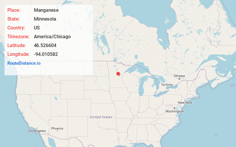
Static map view of Manganese, Minnesota
Browse Places by Distance
Places within specific distances from Manganese
Short Distances
Long Distances
Click any distance to see all places within that range from Manganese. Distances shown in miles (1 mile ≈ 1.61 kilometers).