Distance to Mangum, Texas

Calculating Your Route
Just a moment while we process your request...
Location Information
-
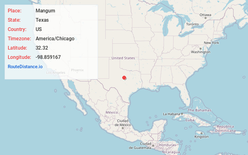
Full AddressMangum, TX 76448
-
Coordinates32.32, -98.859167
-
LocationMangum , Texas , US
-
TimezoneAmerica/Chicago
-
Current Local Time10:06:31 PM America/ChicagoThursday, June 12, 2025
-
Page Views0
About Mangum
Mangum was an unincorporated town in Eastland County, Texas, United States. It was founded in the late 1890s at the intersection of the Missouri-Kansas-Texas Railway and the Eastland, Wichita Falls and Gulf Railroad. Mangum was named for the Bob Mangum family.
Nearby Places
Found 10 places within 50 miles

Carbon
3.8 mi
6.1 km
Carbon, TX 76435
Get directions

Eastland
6.1 mi
9.8 km
Eastland, TX 76448
Get directions

Romney
7.9 mi
12.7 km
Romney, TX 76437
Get directions

Cisco
8.4 mi
13.5 km
Cisco, TX 76437
Get directions
Olden
9.3 mi
15.0 km
Olden, TX 76448
Get directions
Staff
9.3 mi
15.0 km
Staff, TX 76448
Get directions
Morton Valley
10.7 mi
17.2 km
Morton Valley, TX 76448
Get directions
Branton
12.1 mi
19.5 km
Branton, TX 76471
Get directions

Gorman
13.2 mi
21.2 km
Gorman, TX 76454
Get directions

Scranton
14.5 mi
23.3 km
Scranton, TX 76437
Get directions
Location Links
Local Weather
Weather Information
Coming soon!
Location Map
Static map view of Mangum, Texas
Browse Places by Distance
Places within specific distances from Mangum
Short Distances
Long Distances
Click any distance to see all places within that range from Mangum. Distances shown in miles (1 mile ≈ 1.61 kilometers).