Distance to Manley, Minnesota

Calculating Your Route
Just a moment while we process your request...
Location Information
-
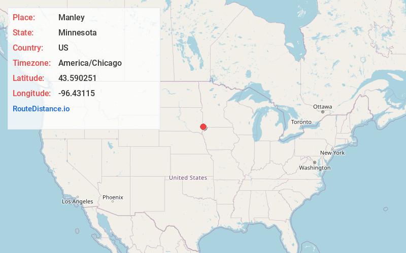
Full AddressManley, Beaver Creek Township, MN 56116
-
Coordinates43.5902506, -96.4311504
-
LocationBeaver Creek Township , Minnesota , US
-
TimezoneAmerica/Chicago
-
Current Local Time6:26:10 PM America/ChicagoFriday, June 20, 2025
-
Page Views0
About Manley
Manley is an unincorporated community in Beaver Creek Township, Rock County, Minnesota, United States.
The community is located one mile south of Interstate 90 on Rock County Road 17, which is an extension of Minnesota State Highway 23, and one mile east of Valley Springs, South Dakota.
Nearby Places
Found 10 places within 50 miles

Valley Springs
1.9 mi
3.1 km
Valley Springs, SD 57068
Get directions

Beaver Creek
3.7 mi
6.0 km
Beaver Creek, MN 56116
Get directions

Bruce
5.0 mi
8.0 km
Bruce, MN 56138
Get directions

Hills
5.4 mi
8.7 km
Hills, MN 56138
Get directions
Benclare
6.3 mi
10.1 km
Benclare, Valley Springs Township, SD 57068
Get directions

Brandon
7.1 mi
11.4 km
Brandon, SD 57005
Get directions
Corson
7.3 mi
11.7 km
Corson, SD 57005
Get directions
Rowena
7.9 mi
12.7 km
Rowena, SD 57005
Get directions

Larchwood
9.4 mi
15.1 km
Larchwood, IA 51241
Get directions

Garretson
9.5 mi
15.3 km
Garretson, SD 57030
Get directions
Location Links
Local Weather
Weather Information
Coming soon!
Location Map
Static map view of Manley, Minnesota
Browse Places by Distance
Places within specific distances from Manley
Short Distances
Long Distances
Click any distance to see all places within that range from Manley. Distances shown in miles (1 mile ≈ 1.61 kilometers).