Distance to Mansfield, Massachusetts

Calculating Your Route
Just a moment while we process your request...
Location Information
-
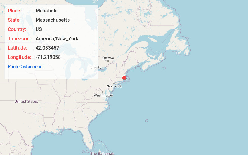
Full AddressMansfield, MA
-
Coordinates42.0334565, -71.2190578
-
LocationMansfield , Massachusetts , US
-
TimezoneAmerica/New_York
-
Current Local Time9:07:34 AM America/New_YorkSaturday, June 14, 2025
-
Website
-
Page Views0
About Mansfield
Mansfield is a town in Bristol County, Massachusetts, United States. As of the United States 2020 Census, the town population is 23,860. Mansfield is 23 miles southwest of Boston and is 22 miles northeast of Providence, Rhode Island. The village of Mansfield Center is located in the town.


Nearby Places
Found 10 places within 50 miles

Easton
4.7 mi
7.6 km
Easton, MA
Get directions

Attleboro
6.9 mi
11.1 km
Attleboro, MA 02703
Get directions

Stoughton
8.4 mi
13.5 km
Stoughton, MA 02072
Get directions

Canton
9.5 mi
15.3 km
Canton, MA
Get directions

Franklin
9.7 mi
15.6 km
Franklin, MA 02038
Get directions

Cumberland
10.5 mi
16.9 km
Cumberland, RI
Get directions

Brockton
10.9 mi
17.5 km
Brockton, MA
Get directions

Norwood
11.2 mi
18.0 km
Norwood, MA
Get directions

Taunton
11.4 mi
18.3 km
Taunton, MA
Get directions

Randolph
12.8 mi
20.6 km
Randolph, MA 02368
Get directions
Location Links
Local Weather
Weather Information
Coming soon!
Location Map
Static map view of Mansfield, Massachusetts
Browse Places by Distance
Places within specific distances from Mansfield
Short Distances
Long Distances
Click any distance to see all places within that range from Mansfield. Distances shown in miles (1 mile ≈ 1.61 kilometers).