Distance to Taunton, Massachusetts

Calculating Your Route
Just a moment while we process your request...
Location Information
-
Full AddressTaunton, MA
-
Coordinates41.900101, -71.0897674
-
LocationTaunton , Massachusetts , US
-
TimezoneAmerica/New_York
-
Current Local Time10:31:15 PM America/New_YorkFriday, June 6, 2025
-
Website
-
Page Views0
About Taunton
Taunton is a city in and the county seat of Bristol County, Massachusetts, United States. Taunton is situated on the Taunton River, which winds its way through the city on its way to Mount Hope Bay, 10 miles to the south.


Nearby Places
Found 10 places within 50 miles

Brockton
13.2 mi
21.2 km
Brockton, MA
Get directions

Fall River
14.1 mi
22.7 km
Fall River, MA
Get directions

Pawtucket
15.1 mi
24.3 km
Pawtucket, RI
Get directions

Providence
17.5 mi
28.2 km
Providence, RI
Get directions

Cranston
19.7 mi
31.7 km
Cranston, RI
Get directions

New Bedford
20.2 mi
32.5 km
New Bedford, MA
Get directions

Plymouth
22.1 mi
35.6 km
Plymouth, MA
Get directions

Quincy
24.7 mi
39.8 km
Quincy, MA
Get directions

Brookline
29.9 mi
48.1 km
Brookline, MA
Get directions

Newton
30.8 mi
49.6 km
Newton, MA
Get directions
Location Links
Local Weather
Weather Information
Coming soon!
Location Map
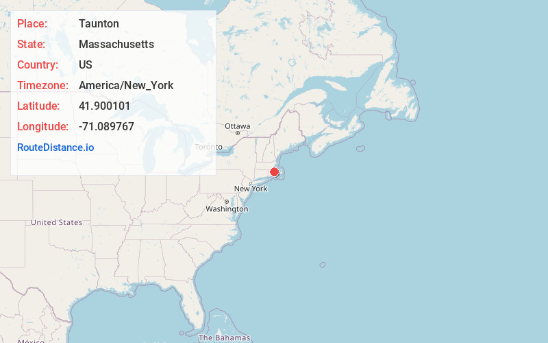
Static map view of Taunton, Massachusetts
Browse Places by Distance
Places within specific distances from Taunton
Short Distances
Long Distances
Click any distance to see all places within that range from Taunton. Distances shown in miles (1 mile ≈ 1.61 kilometers).