Distance to Manson, Indiana

Calculating Your Route
Just a moment while we process your request...
Location Information
-
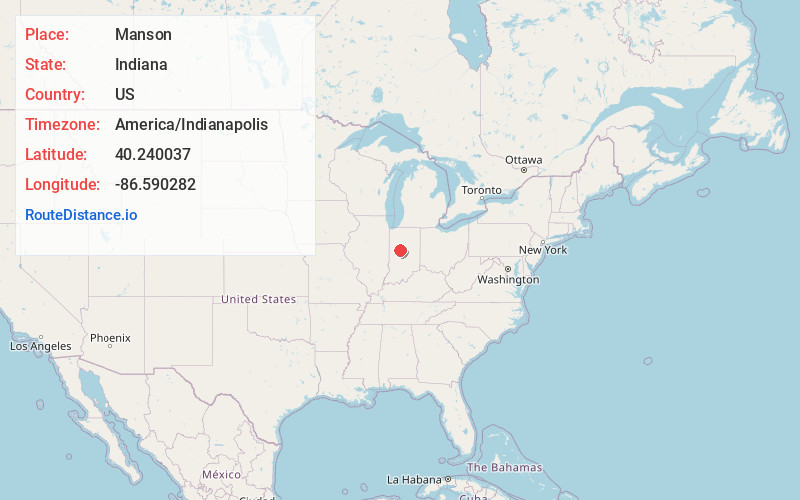
Full AddressManson, Perry Township, IN 46041
-
Coordinates40.2400366, -86.5902816
-
LocationPerry Township , Indiana , US
-
TimezoneAmerica/Indianapolis
-
Page Views0
About Manson
Manson is an unincorporated community in Perry Township, Clinton County, Indiana. The town is named for Mahlon Dickerson Manson, a general in the American Civil War and Lieutenant Governor of Indiana.

Nearby Places
Found 10 places within 50 miles

Antioch
4.7 mi
7.6 km
Antioch, IN 46041
Get directions

Frankfort
5.0 mi
8.0 km
Frankfort, IN 46041
Get directions

Colfax
5.1 mi
8.2 km
Colfax, IN 46035
Get directions

Risse
6.0 mi
9.7 km
Risse, Frankfort, IN 46041
Get directions
East Park
6.0 mi
9.7 km
East Park, Frankfort, IN 46041
Get directions

Clarks Hill
7.1 mi
11.4 km
Clarks Hill, IN 47930
Get directions

Thorntown
7.7 mi
12.4 km
Thorntown, IN 46071
Get directions
Mechanicsburg
8.1 mi
13.0 km
Mechanicsburg, IN 46050
Get directions

Mulberry
8.2 mi
13.2 km
Mulberry, IN 46058
Get directions
Bowers
9.1 mi
14.6 km
Bowers, IN 47940
Get directions
Location Links
Local Weather
Weather Information
Coming soon!
Location Map
Static map view of Manson, Indiana
Browse Places by Distance
Places within specific distances from Manson
Short Distances
Long Distances
Click any distance to see all places within that range from Manson. Distances shown in miles (1 mile ≈ 1.61 kilometers).